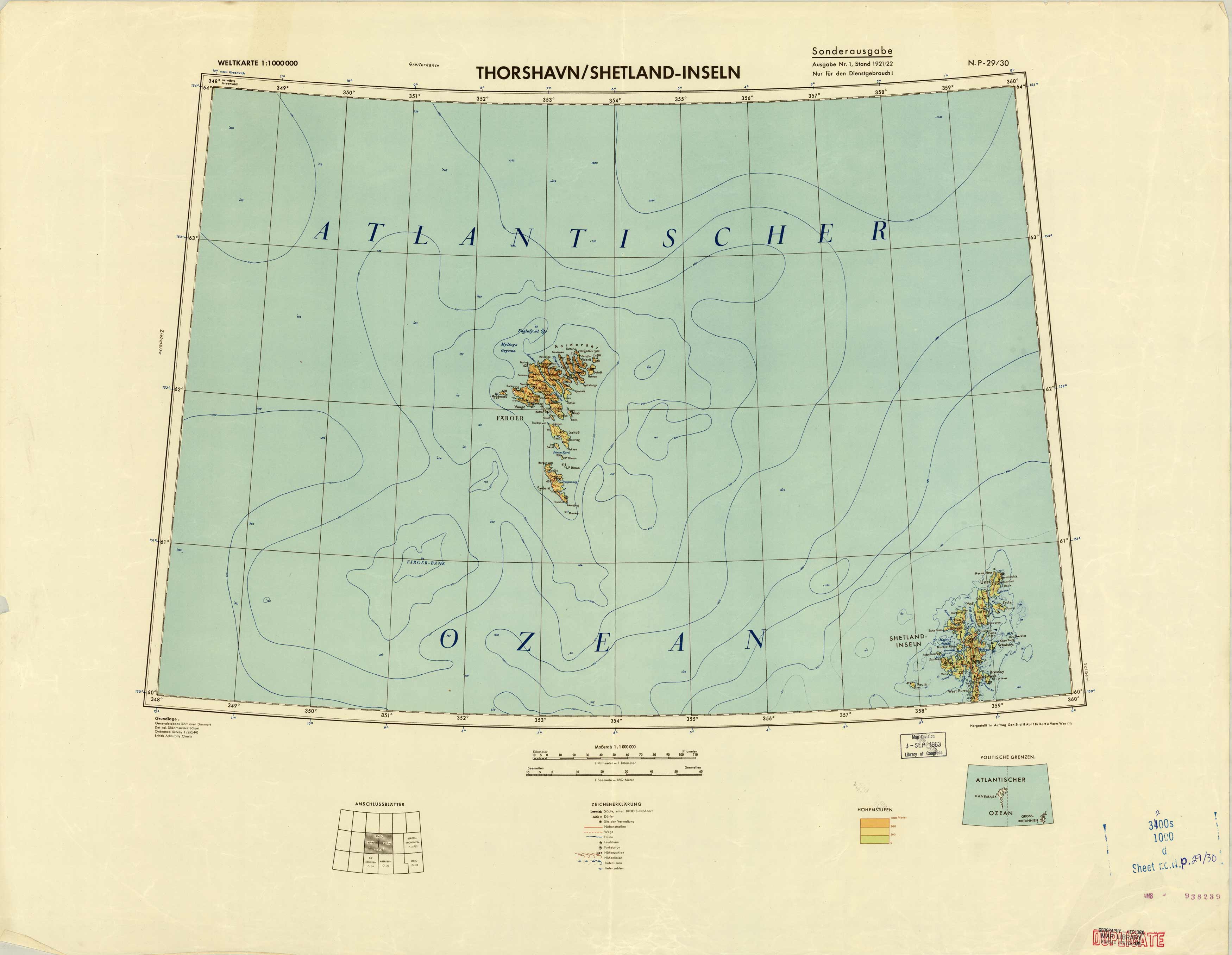
Thorshavn/Shetland-Inseln
In stock
Written in German, this coastal and topographic map covers the Faroe and Thorshavn Islands, and also the Shetland Islands located between Norway and the United Kingdom.
Size: 27 x 24 inches
Condition: Good, multiple stamps from various government agencies and libraries
Map Maker: British Admiralty Charts
Coloring: Printed Color
Year: 1922
Condition: Good, multiple stamps from various government agencies and libraries
Map Maker: British Admiralty Charts
Coloring: Printed Color
Year: 1922
In stock


