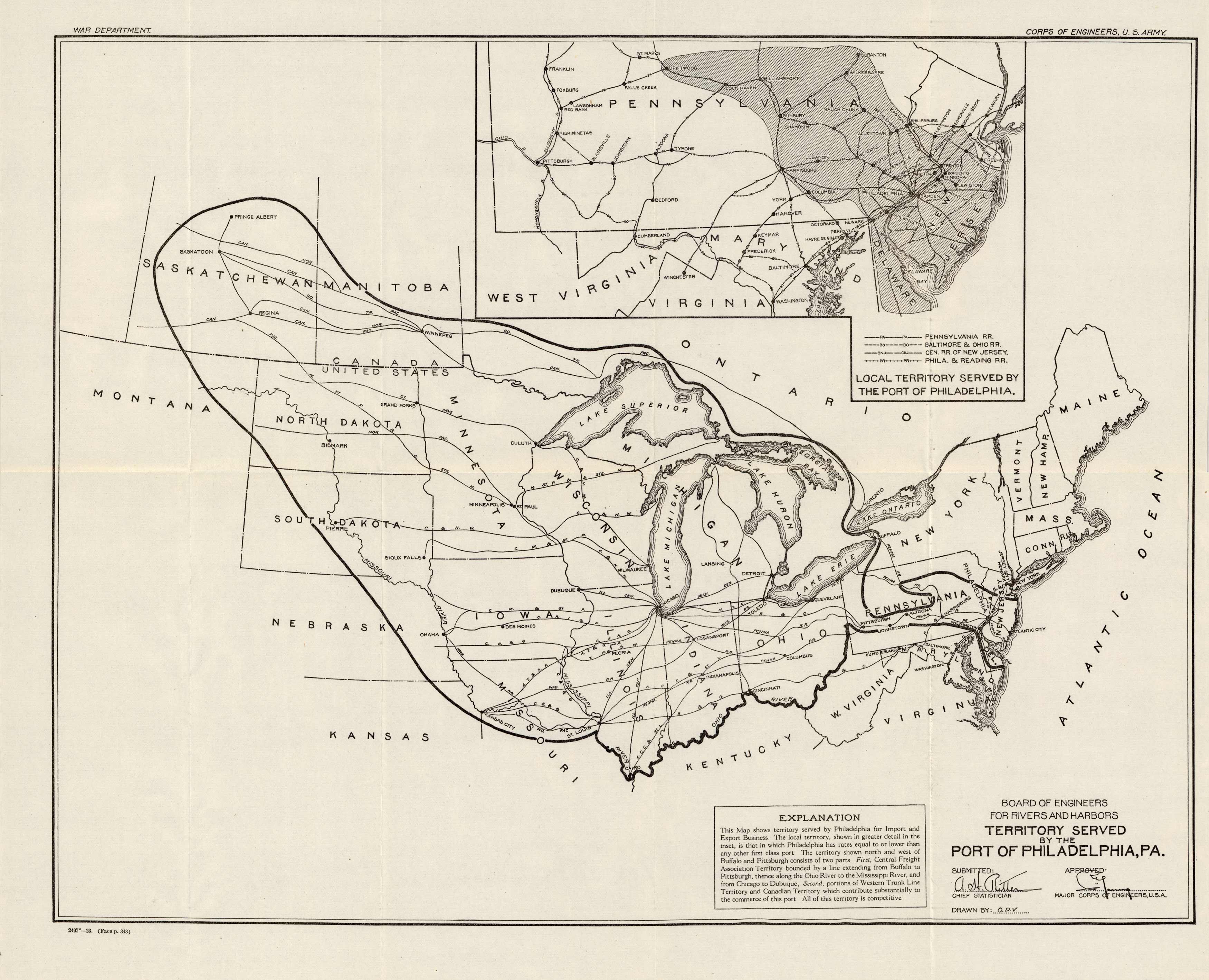
Territory Served by the Port of Philadelphia, PA.
In stock
This 1923 U.S. Army Corps of Engineers map made for the Board of Engineers for Rivers and Harbors shows the “Territory Served by the Port of Philadelphia, PA.”. Inset map shows local territory served.
Size: 19.5 x 15.5 inches
Condition: Very Good
Map Maker: U.S. Army Corps of Engineers
Coloring: Black & White
Year: 1923
Condition: Very Good
Map Maker: U.S. Army Corps of Engineers
Coloring: Black & White
Year: 1923
In stock


