Map San Diego County California
In stock
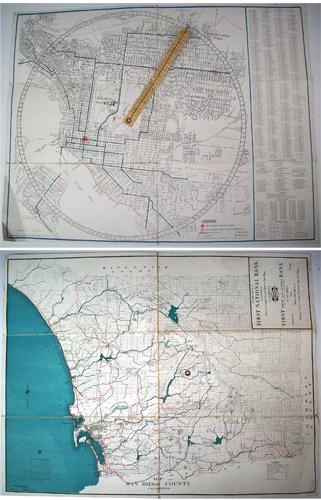
This 1923 brochure map of San Diego County, California was given in compliments by First National Bank of San Diego. This is a doubled sided, fold out brochure map. One side is the map of San Diego County detailing highways, roads, township and section lines, railroads, and it also names many resorts, inns, and lodges of the area. The other side of this map has a dial location finder. You can use the center pointer to find the location of any street listed on the chart on the right hand side. Also in the chart lists places of interest in San Diego, hospitals, schools, public buildings, and libraries. Balboa Park, University Heights, Old Town, and Coronado are easily identified. Both sides of map are pictured.
Size: 18 x 14 inches
Condition: Very Good, some cracking at fold lines, folds bottom left
Map Maker: Rodney Stokes Company
Coloring: Printed Color
Year: 1923
Condition: Very Good, some cracking at fold lines, folds bottom left
Map Maker: Rodney Stokes Company
Coloring: Printed Color
Year: 1923
In stock


