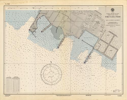
Japan- Naikai or Inland Sea- Tokuyama Wan (Bay)- Tokuyama Piers
In stock
This coastal survey was printed by the U.S. Navy Hydrographic Office in Washington D.C in 1944. This map details the Tokuyama Piers. Other details name the structures on the pier including oil tanks and refineries. Depth soundings are shown in fathoms. There is also a conversion chart from fathoms to meters. Other details that maybe included are anchor and buoy positions.
Size: 27 x 21.5 inches
Condition: Good, age toning and foxing
Map Maker: U.S. Navy Hydrographic Office
Coloring: Printed Color
Year: 1944
Condition: Good, age toning and foxing
Map Maker: U.S. Navy Hydrographic Office
Coloring: Printed Color
Year: 1944
In stock


