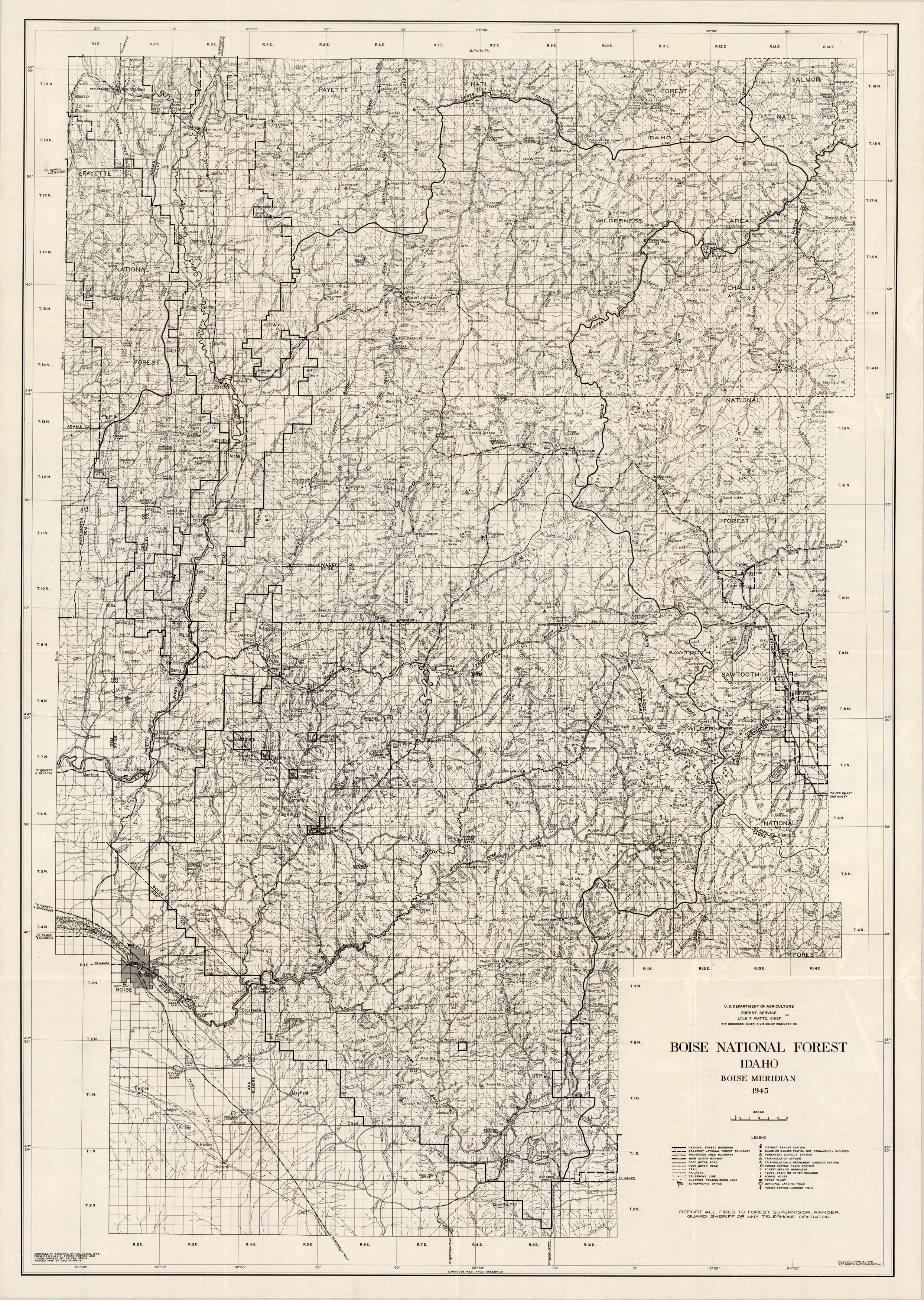
Boise National Forest, Idaho, Boise Meridian
In stock
Produced by the U.S. Department of Agriculture Forest Service in 1945, this map covers the Boise National Forest in Idaho on the Boise Meridian. Indications on the map are boundaries, wilderness boundaries, motor roads, trails, railroads, ranger station, guard or stations not occupied, lookout stations, forest service station, house or cabins, school, power plant, landing field, and supervisors office.
Size: 23 x 33.25 inches
Condition: Very Good
Map Maker: U.S. Department of Agriculture, Forest Service
Coloring: Black and White
Year: 1945
Condition: Very Good
Map Maker: U.S. Department of Agriculture, Forest Service
Coloring: Black and White
Year: 1945
In stock


