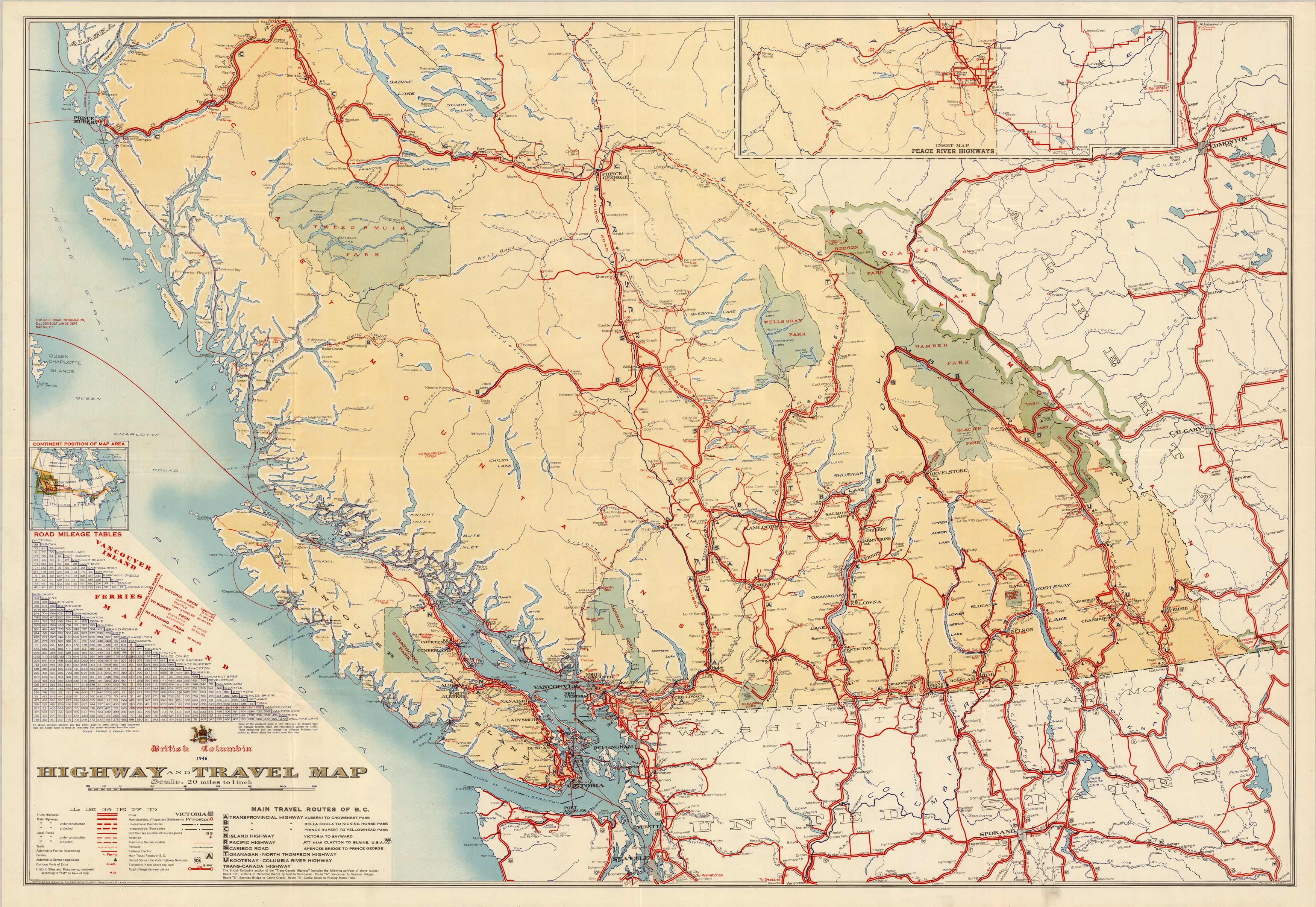
Highway and Travel Map – British Columbia
In stock
This is a beautiful highway and travel map for British Columbia, produced in 1946 by the Department of Lands, British Columbia. This map indicates highways, roads, trials, ferries, railways, cities, boundaries, some U.S. highways and road mileage. There is a great road mileage table for Vancouver Island and the mainland and also one for the Ferries from mainland to ports. There is an inset map of the Peace River highways at the top. Another legend indicates the main travel routes of B.C. that names the main passes and highways from one major city to another. This would be a great framed piece for anyone interested in British Columbia or one who has traveled there frequently.
Size: 39 x 27 inches
Condition: Very Good
Map Maker: Department of Lands - British Columbia
Coloring: Printed Color
Year: 1946
Condition: Very Good
Map Maker: Department of Lands - British Columbia
Coloring: Printed Color
Year: 1946
In stock


