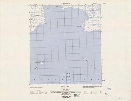
Native Bay, Northwest Territories
In stock
Produced by the Army Survey Establishment, Canada, this topographic map gives great detail of land elevations and terrain of a given area in Canada. Indications represent foreshore flats, wharfs, levees, streams, rapids, wooded areas, and cliffs. This map focuses on Native Bay in the northwest territory, with a portion of Southampton Island. There is a library stamp and small markings on the margin.
Size: 15.75 x 17.5 inches
Condition: Very Good
Map Maker: Army Survey Establishment - Canada
Coloring: Printed Color
Year: 1960
Condition: Very Good
Map Maker: Army Survey Establishment - Canada
Coloring: Printed Color
Year: 1960
In stock


