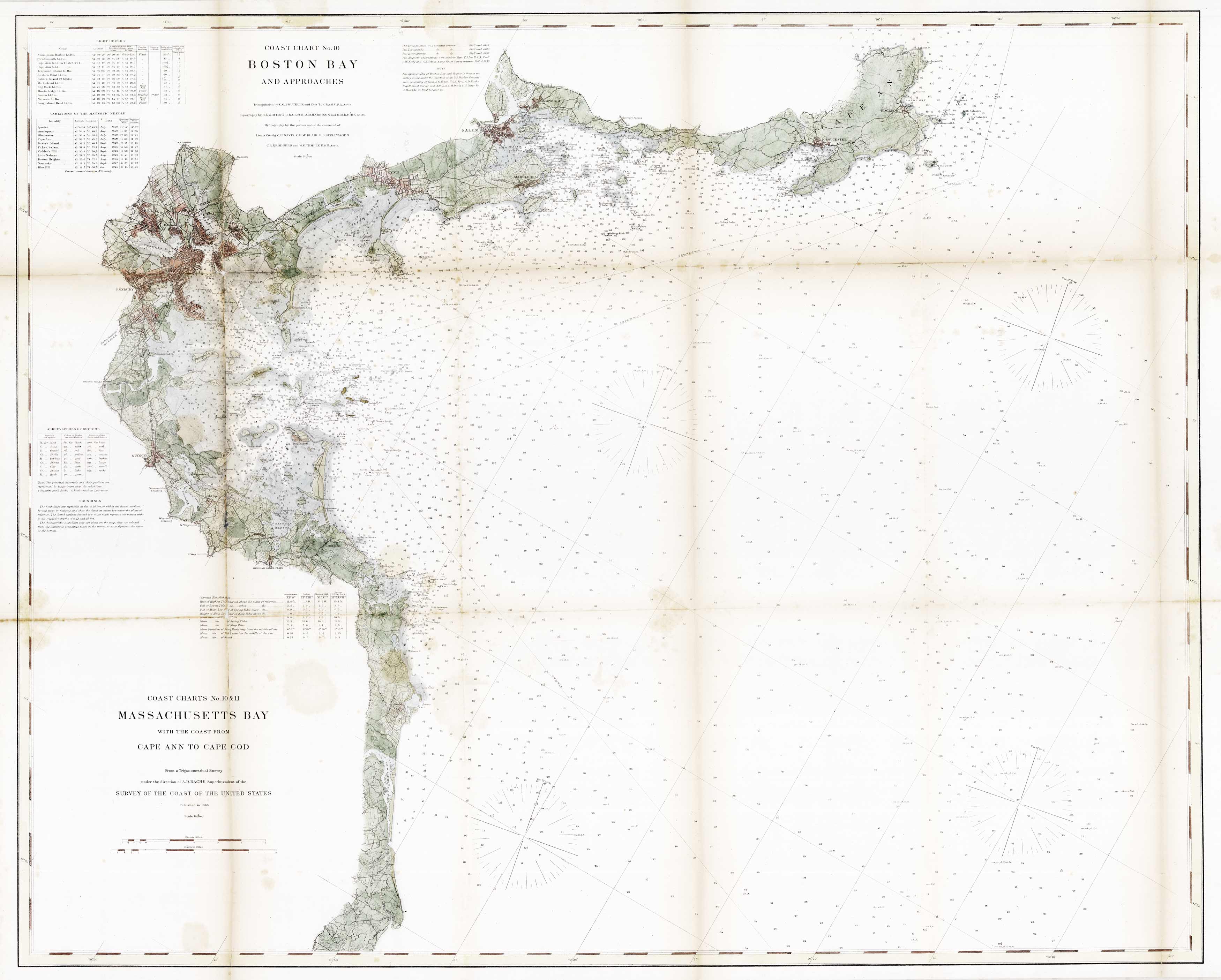
Coast Chart No.10 Boston Bay and Approaches
In stock
This exquisite U.S. Coast Survey map showcases the Boston and Massachusetts Bay areas along with coastal information from Cape Ann to Cape Cod. The map contains information about area lighthouses, magnetic needle variations, ocean depths, soundings in fathoms, bottom conditions, and tides. Old neighborhood layouts, railroad lines, and surrounding cities are also depicted in this fine 1866 piece. This map was a collaborative effort with triangulation completed by C.O. Boutelle and T.J. Cram; topography by H.L. Whiting, J.B. Gluck, A.M. Harrison, and R.M. Bache; and hydrography by parties under the command of C.H. Davis, C.H. McBlair, H.S. Stellwagen, C.R.P. Rodgers and W.G. Temple.
Size: 39.5 x 32 inches
Condition: Foxing, minor tears at folds
Map Maker: U.S. Coast Survey
Coloring: Original Hand Color
Year: 1866
Condition: Foxing, minor tears at folds
Map Maker: U.S. Coast Survey
Coloring: Original Hand Color
Year: 1866
In stock


