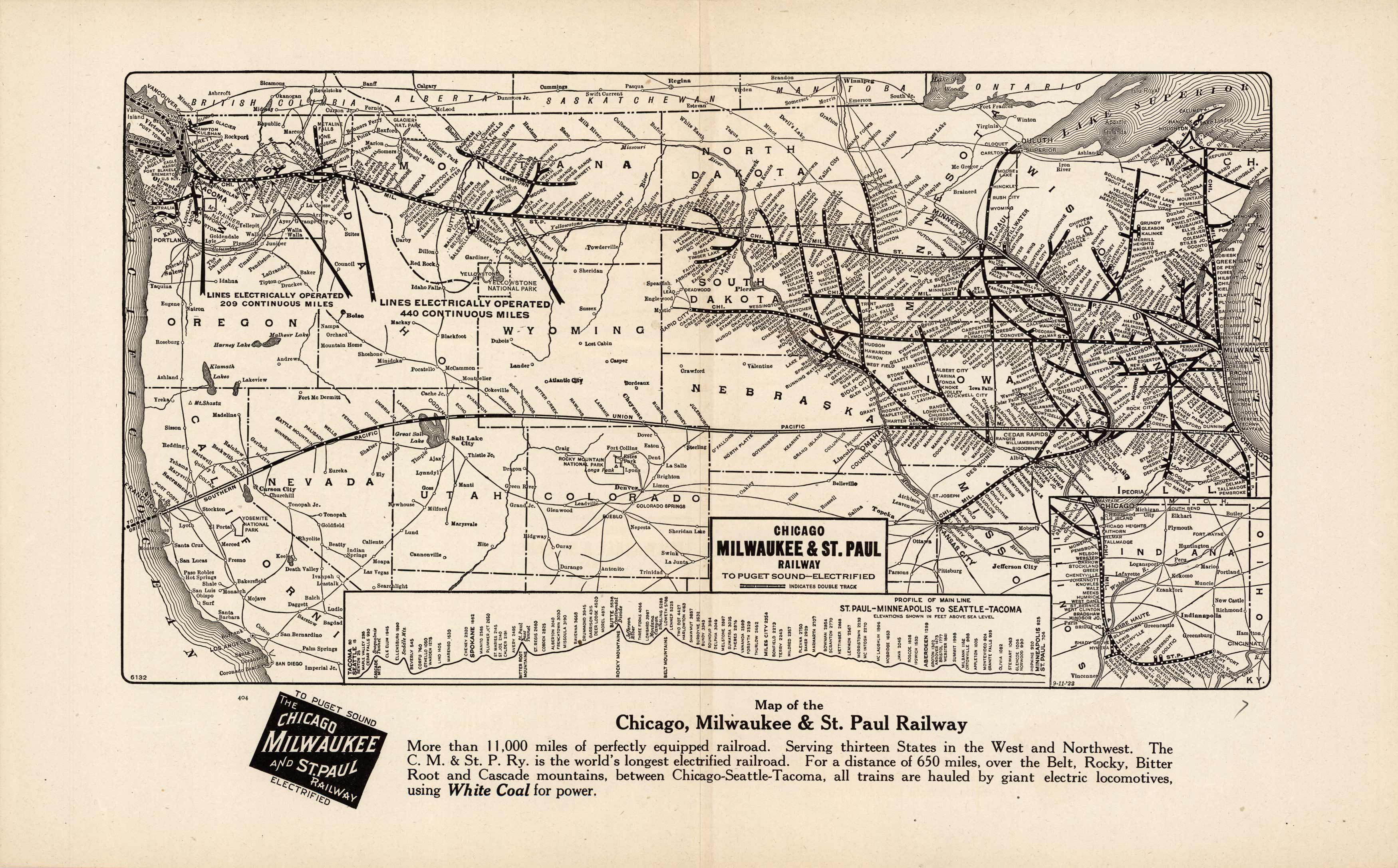
Chicago Milwaukee & St. Paul Railway to Puget Sound – Electrified
Out of stock
Charles E. Wymond produced this “Atlas of Traffic Maps” in 1924. The Atlas contains maps covering routes and rate classification groupings of the various transportation agencies. The Chicago, Milwaukee & St. Paul Railway to Puget Sound is illustrated on this very detailed map. Cities, towns, geographic features, train stations, railroad lines, major roads, and localized industrial staples are also shown.
Size: 14.75 x 9.5 inches
Condition: Very Good
Map Maker: Charles E. Wymond
Coloring: Printed Color
Year: 1924
Condition: Very Good
Map Maker: Charles E. Wymond
Coloring: Printed Color
Year: 1924
Out of stock


