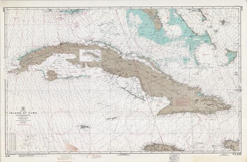
West Indies Island of Cuba, from U.S. Naval Surveys to 1932 Bahama Islands from British Surveys between 1836 and 1848 with additions to 1961
In stock
This coastal survey was printed by the U.S. Coast and Geodetic Survey Office in Washington D.C. Details include the names of cities and waterways along the coast. Depth soundings are shown in feet. Other details that may be included are lighthouses and buoy positions. Includes a conversation chart to meters. This map includes a small inset of an index to next larger scale charts.
Size: 51.5 x 32 inches
Condition: Very Good
Map Maker: U.S. Coast and Geodetic Survey
Coloring: Printed Color
Year: 1969
Condition: Very Good
Map Maker: U.S. Coast and Geodetic Survey
Coloring: Printed Color
Year: 1969
In stock


