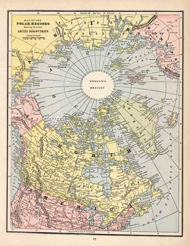
Map of the Polar Regions showing the recent Arctic Discoveries
In stock
George F. Cram produced this map of the North Pole for Crams Unrivaled Atlas of the World in 1889. This map shows the Polar Regions, showing the recent arctic discoveries, countries, cities, and topographical features. ‘
Size: 9.25 x 12 inches
Condition: Very Good
Map Maker: George F. Cram
Coloring: Printed Color
Year: 1889
Condition: Very Good
Map Maker: George F. Cram
Coloring: Printed Color
Year: 1889
In stock


