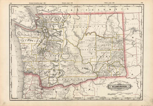
Railroad and Township Map of Washington
In stock
This map is from the extremely rare and well maintained 1890 edition of the county and railroad atlas made by George F. Cram. Each state map is mostly black and white with bright coloring used to highlight county and state borders. The names of counties, important towns, rivers, Indian reservations, creeks, lakes and mountain ranges are identified, as well as railroads and the names of station stops. This map illustrates the state of Washington. Crams distinctive title plates, coloring, and topographical details found on the maps in this hard to find 1890 atlas make them outstanding collectible pieces.
Size: 19.5 x 15.75 inches
Condition: Very Good-age toning, small tears, staining in margin
Map Maker: George F. Cram
Coloring: Printed Color
Year: 1890
Condition: Very Good-age toning, small tears, staining in margin
Map Maker: George F. Cram
Coloring: Printed Color
Year: 1890
In stock


