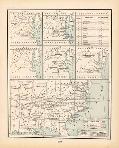
Civil War Battle Maps, Seceding States Chart, etc.
In stock
This detailed colorful map came from Crams 1898 “Universal Atlas – Geographical, Astronomical and Historical.” In 1869 the George F. Cram Company was born and the Cram name quickly became synonymous with accuracy and innovation. This map depicts battles of the civil war in the area of Virginia and Washington D.C. between 1861-1865. Locations of battles, the dates of succession of states, confederate capitals, and the Lincoln Administration are noted throughout the map. This map is a great resource for studying the history of the US.
Size: 9.5 x 12 inches
Condition: Very Good
Map Maker: George F. Cram
Coloring: Printed Color
Year: 1898
Condition: Very Good
Map Maker: George F. Cram
Coloring: Printed Color
Year: 1898
In stock


