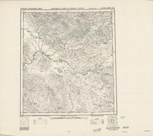
McQuesten, Yukon Territory
In stock
Produced by the Surveys and Mapping Branch for the Department of Mines and Technical Surveys, Canada, this topographic map gives great detail of land elevations and terrain of a given area in Canada. Indications represent streams, rapids, lakes, marshes, sand, and rock, roads and trails. This map focuses on McQuesten in the Yukon territory with portions of the Stewart River and White Mountains. There is a library stamp and small markings on the margin.
Size: 16.75 x 18.5 inches
Condition: Very Good
Map Maker: Surveys and Mapping Branch - Canada
Coloring: Printed Color
Year: 1952
Condition: Very Good
Map Maker: Surveys and Mapping Branch - Canada
Coloring: Printed Color
Year: 1952
In stock


