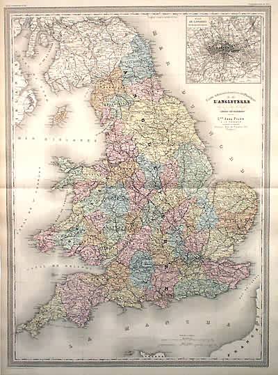
Carte Administrative et Physique de lAngleterre
In stock
Beautiful large, detailed steel plate map of England and Wales. Includes depth details along coastlines, as well as towns, roads, etc. Good inset map of London.
Size: 21.5 x 29.5 inches
Condition: Very Good
Map Maker: A.H. Dufour, Grand Atlas Universel
Coloring: Original hand color
Year: 1860
Condition: Very Good
Map Maker: A.H. Dufour, Grand Atlas Universel
Coloring: Original hand color
Year: 1860
In stock


