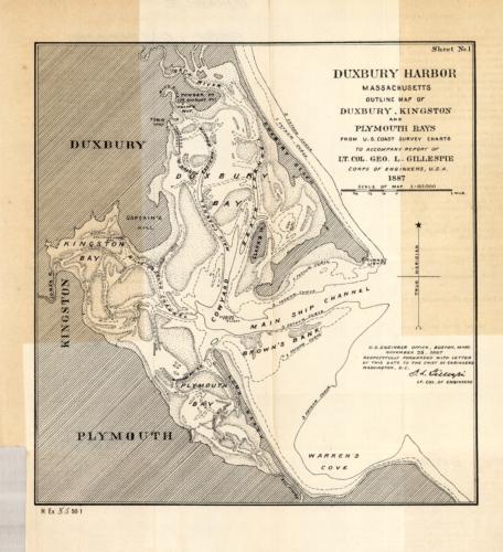
Duxbury Harbor, Massachusetts Outline Map of Duxbury, Kingston and Plymouth Bays
In stock
This 1887 map of Duxbury Harbor shows Duxbury, Kingston, and Plymouth. It details a main shipping channel, a cowyard, fathom curves, the Duxbury Beach, Back River, the Duxbury Pier Lighthouse, Long Beach, Captains River, Jone’s River, and more.
Size: 8 x 8.5 inches
Condition: Good, some staining in margins
Map Maker: U.S. Engineer Office
Coloring: Black and White
Year: 1887
Condition: Good, some staining in margins
Map Maker: U.S. Engineer Office
Coloring: Black and White
Year: 1887
In stock


