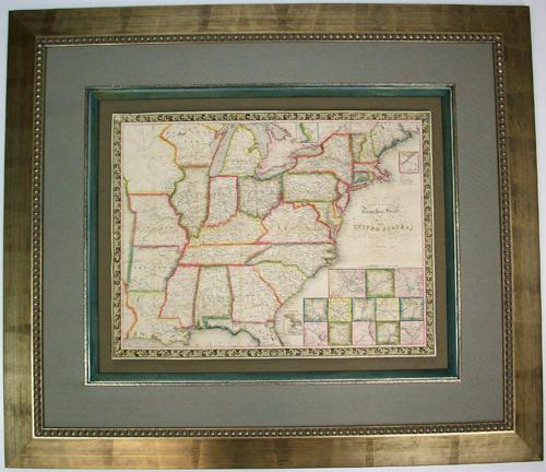
Travellers Guide Map of the United States’
In stock
This beautifully colored map was originally issued as a folding pocket map by the famous mapmakers, Ensign & Thayer in 1843. This map has amazing detail and includes roads, distances, steamboat and canal routes. It also includes several insets of major cities & important harbors of the time, including New York City, Boston, New Orleans, Baltimore, Philadelphia, Mobile, Cincinnati, St. Louis, Charleston, Chicago and several more. Its archivally framed in a wide silver beaded frame, with a light blue fabric mat, a rustic silver fillet and another thicker fillet that’s painted light blue. It’s floated on an ochre fabric mat.
Size: 28.5 x 33 inches
Condition: Very Good
Map Maker: Ensign & Thayer
Coloring: Original Hand Color
Year: 1843
Condition: Very Good
Map Maker: Ensign & Thayer
Coloring: Original Hand Color
Year: 1843
In stock


