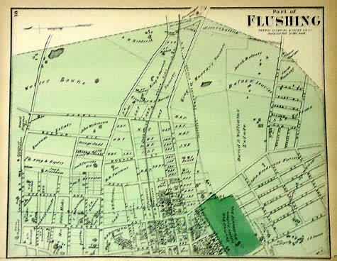
Part of Flushing
In stock
Art Source International is proud to present maps from F.W.Beers Atlas of Long Island, New York – 1873. This is the one of the rarest county atlases in existence today- subsequently, these maps are sure to sell fast! The maps show the counties and towns of Long Island, with roads, railroads, bodies of water and rivers, as well as buildings and the names of homeowners and landowners, making this an excellent genealogical resource! Original hand coloring highlights the maps in bright pastels.
Size: 14 x 11 inches
Condition: Very Good - Small tear in bottom right corner
Map Maker: F.W. Beers
Coloring: Original Hand Coloring
Year: 1873
Condition: Very Good - Small tear in bottom right corner
Map Maker: F.W. Beers
Coloring: Original Hand Coloring
Year: 1873
In stock


