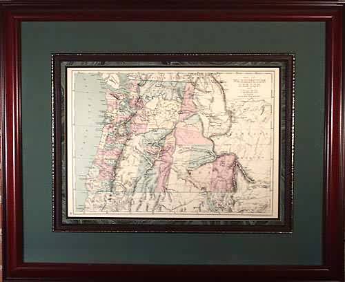
FRAMED Map of Washington Oregon and Idaho
Out of stock
This beautiful map of Washington Oregon and Idaho was made by J.H. Preston in 1867. This map is a steel plate engraving with original hand coloring. Map shows Native American Indian tribes, cities and towns, lake and rivers, mountains and other physical features, railroads, forts and mines. Note the eastern edge of Idaho runs into present day Wyoming, and no Yellowstone Park is shown. At this time Washington and Idaho are still territories. Map is framed with a double mat and fillet with a cherry red wood frame. All Art Source framing use archival materials including acid-free mat board and UVA protective glass.
Size: 1 x 1 inches
Condition: Very Good
Map Maker: J.H. Preston
Coloring: Original Hand Coloring
Year: 1867
Condition: Very Good
Map Maker: J.H. Preston
Coloring: Original Hand Coloring
Year: 1867
Out of stock


