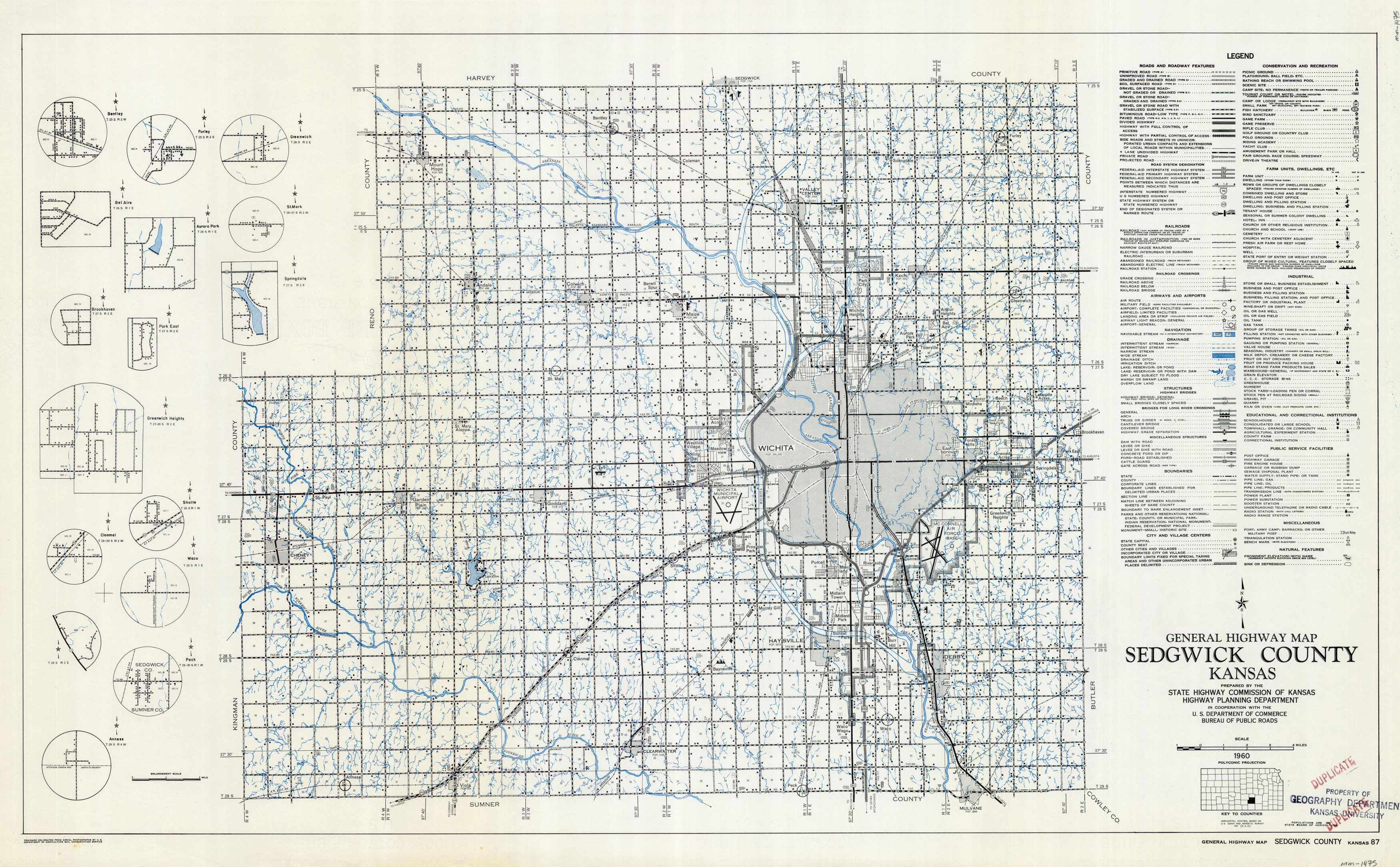
General Highway Map – Sedgwick County, Kansas
Out of stock
This detailed general highway map of Sedgwick County, Kansas shows lakes, rivers, streams, highways, roads, towns, etc. with a detailed legend/key. Map also includes small larger-scale maps of the towns of Bentley, Furley, Greenwich, Bel Aire, Aurora Park, St. Mark, Brookhaven, Park East, Springdale, Greenwich Heights, Clonmel, Shulte, Waco, Peck, and Anness.
Size: 29 x 17 inches
Condition: Very Good
Map Maker: State Highway Commission of Kansas / Highway Planning Department
Coloring: Printed Color
Year: 1960
Condition: Very Good
Map Maker: State Highway Commission of Kansas / Highway Planning Department
Coloring: Printed Color
Year: 1960
Out of stock


