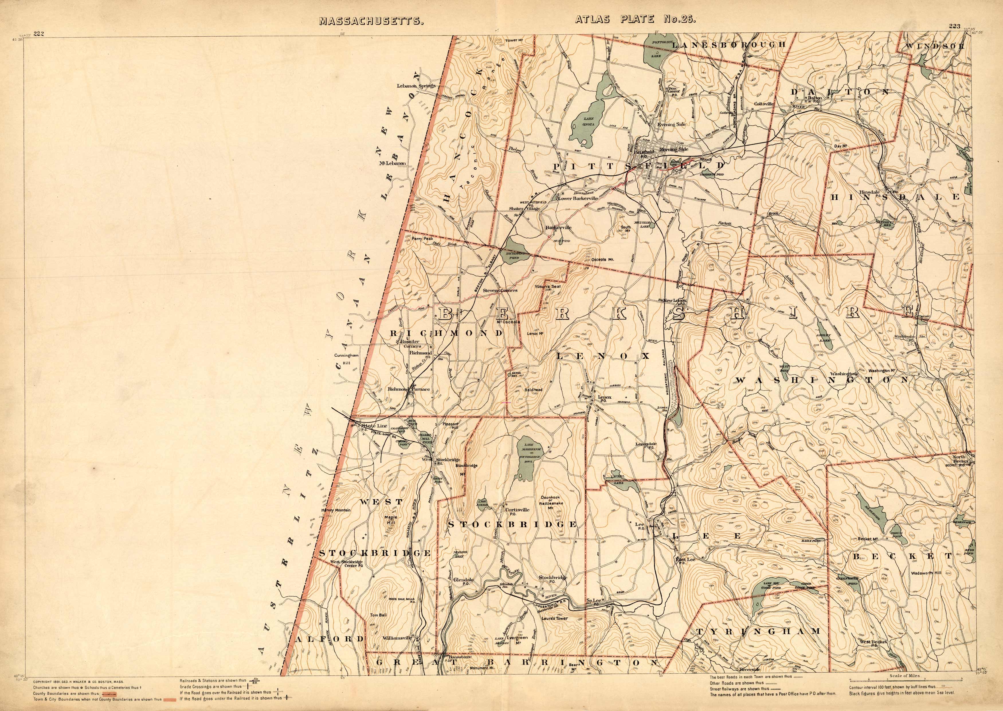
Massachusetts. Atlas Plate No. 26.
Out of stock
This 1891 map of Berkshire shows Lanesborough, Dalton, Windsor, Hinsdale, Pittsfield, Richmond, Lenox, Washington, Stockbridge, West Stockbridge, Lee, Tyringham, Becket, Alford, and Great Barrington. Along the border, the map labels Austerlitz, Canaan, and New Labanon. Other points of interest include railroad crossings, schools, cemeteries, churches, mountain ranges, and numerous ponds and reservoirs.
Size: 26 x 17.5 inches
Condition: Very Good
Map Maker: Geo H. Walker & CO.
Coloring: Printed Color
Year: 1891
Condition: Very Good
Map Maker: Geo H. Walker & CO.
Coloring: Printed Color
Year: 1891
Out of stock


