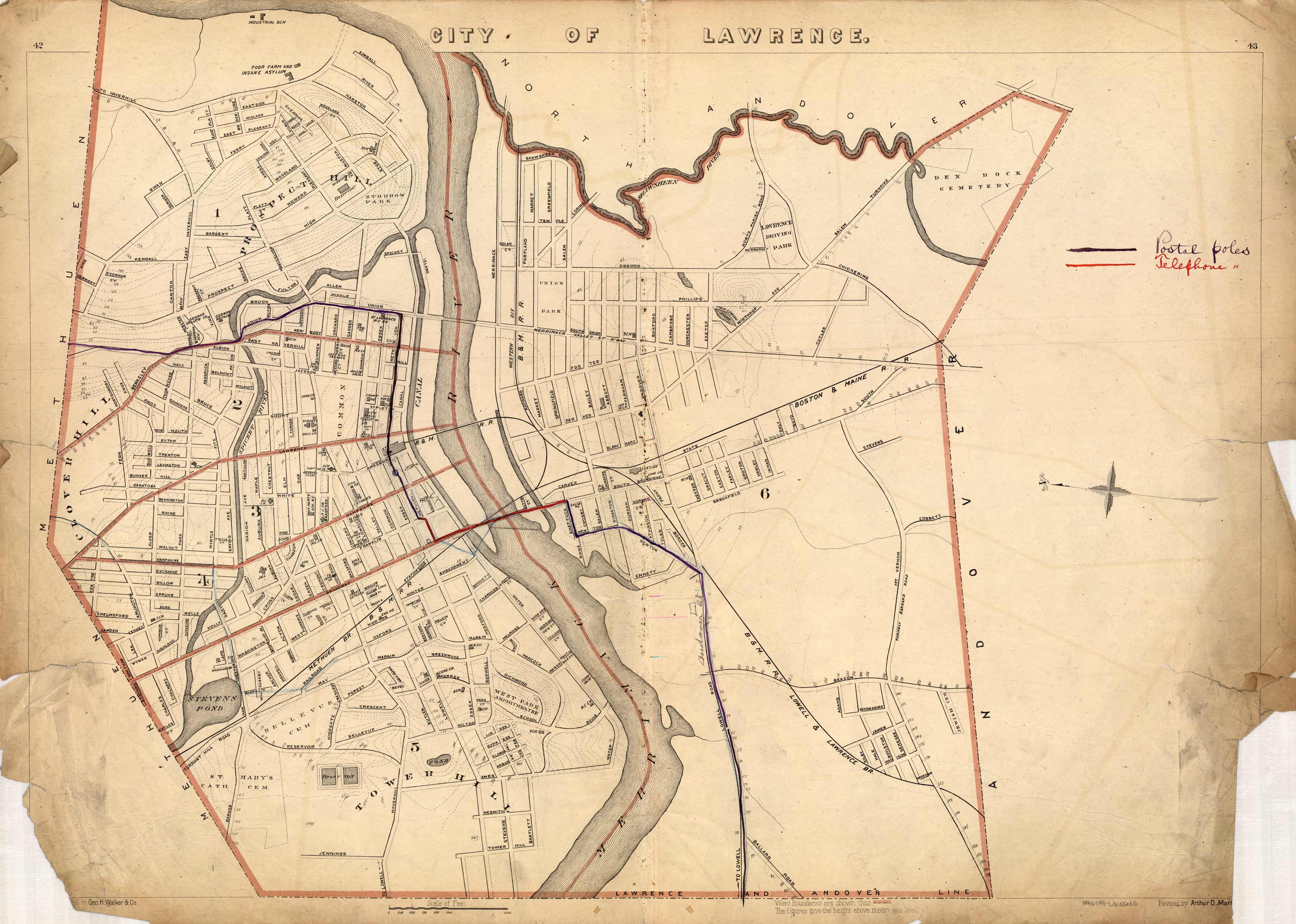
City of Lawrence
In stock
This 1891 map of Lawrence names streets, churches, schools, parks, ponds, cemeteries, the court house, city hall, a police station, canals, stables, railroad lines, and more. The map extends as far as North Andover and Methuen.
Size: 25.5 x 17.5 inches
Condition: Good, some paper loss along edges
Map Maker: Geo H. Walker & CO.
Coloring: Printed Color
Year: 1891
Condition: Good, some paper loss along edges
Map Maker: Geo H. Walker & CO.
Coloring: Printed Color
Year: 1891
In stock


