City of Malden
In stock
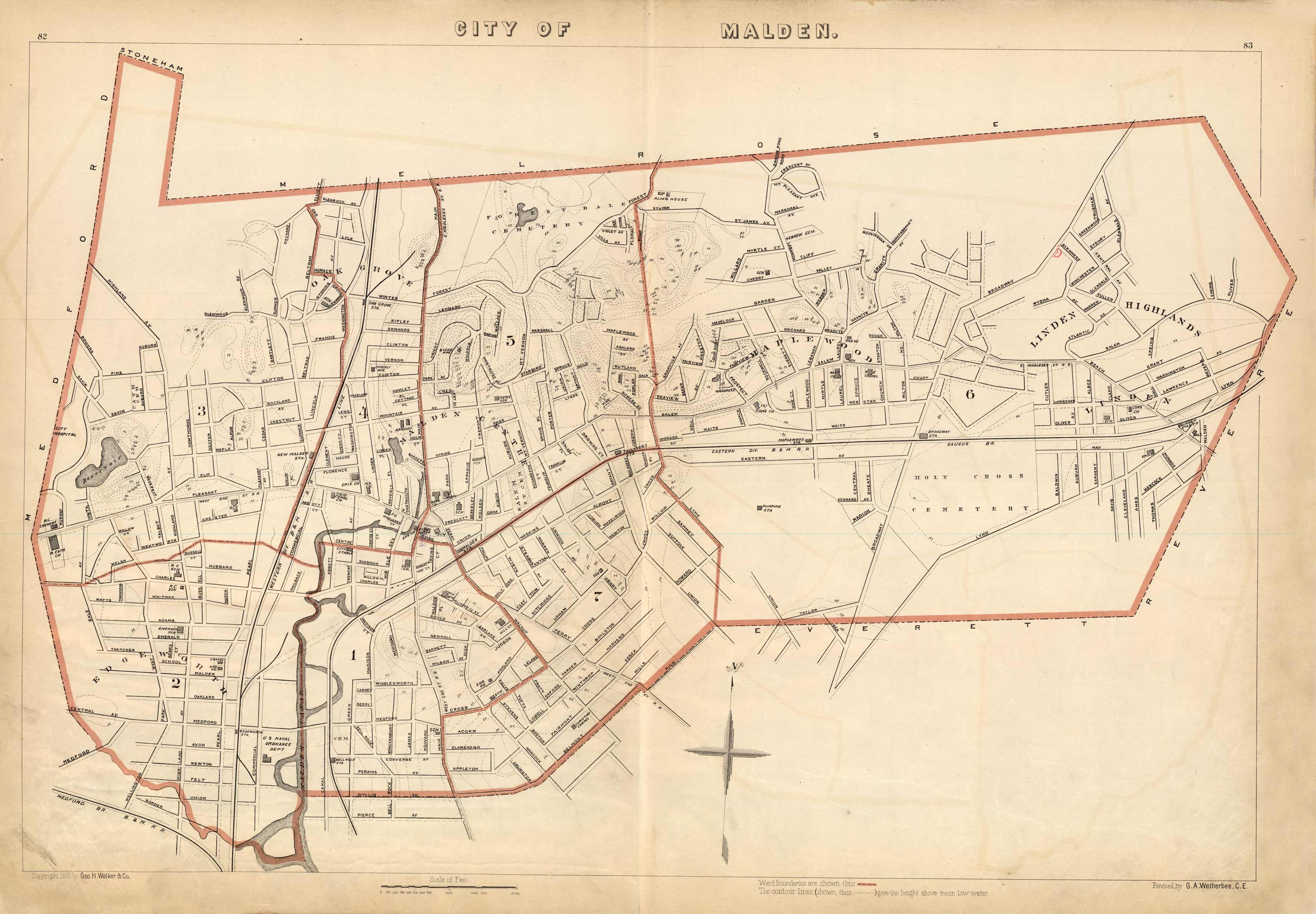
This 1891 map of the city of Malden shows parts of Edgeworth, Oak Grove, Malden, Maplewood, and Linden Highlands. This map names streets, cemeteries, ponds, an alms house, schools, churches, city stables, government buildings, an armory building, railroad lines, a pumping station, and more. Ward boundaries are shown using colored borders and contour lines denote heights above mean low water.
Size: 26 x 17.5 inches
Condition: Good, some paper loss outside margins
Map Maker: Geo H. Walker & CO.
Coloring: Printed Color
Year: 1891
Condition: Good, some paper loss outside margins
Map Maker: Geo H. Walker & CO.
Coloring: Printed Color
Year: 1891
In stock


