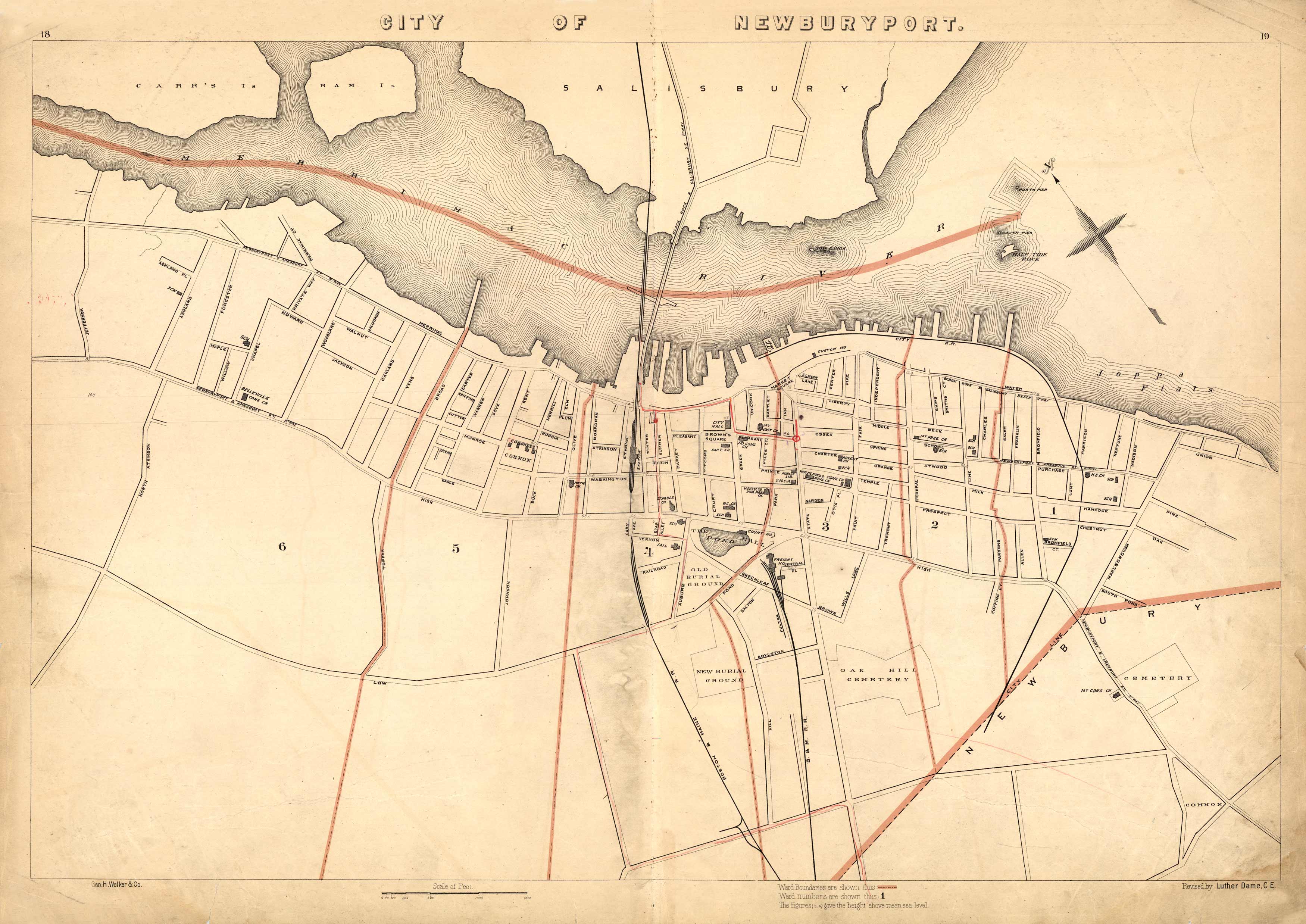
City of Newburyport
In stock
This 1891 map of Newburyport names streets, churches, schools, cemeteries, government buildings, railroad lines, a jail, ponds, and more. To the north, it shows Carr and Ram Island as well as part of Salisbury. Ward boundaries are indicated by colored borders.
Size: 26 x 17.5 inches
Condition: Good, light foxing and paper loss along edges outside margins
Map Maker: Geo H. Walker & CO.
Coloring: Printed Color
Year: 1891
Condition: Good, light foxing and paper loss along edges outside margins
Map Maker: Geo H. Walker & CO.
Coloring: Printed Color
Year: 1891
In stock


