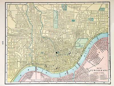
Map of Cincinnati
In stock
This colorful map came from Crams 1898 Universal Atlas – Geographical, Astronomical and Historical. In 1869 the George F. Cram Company was born and the Cram name quickly became synonymous with accuracy and innovation. This map of Cincinnati shows the primary streets, rivers, railroads, parks, and common areas.
Size: 12 x 9.5 inches
Condition: Excellent
Map Maker: George F. Cram
Coloring: Printed Color
Year: 1898
Condition: Excellent
Map Maker: George F. Cram
Coloring: Printed Color
Year: 1898
In stock


