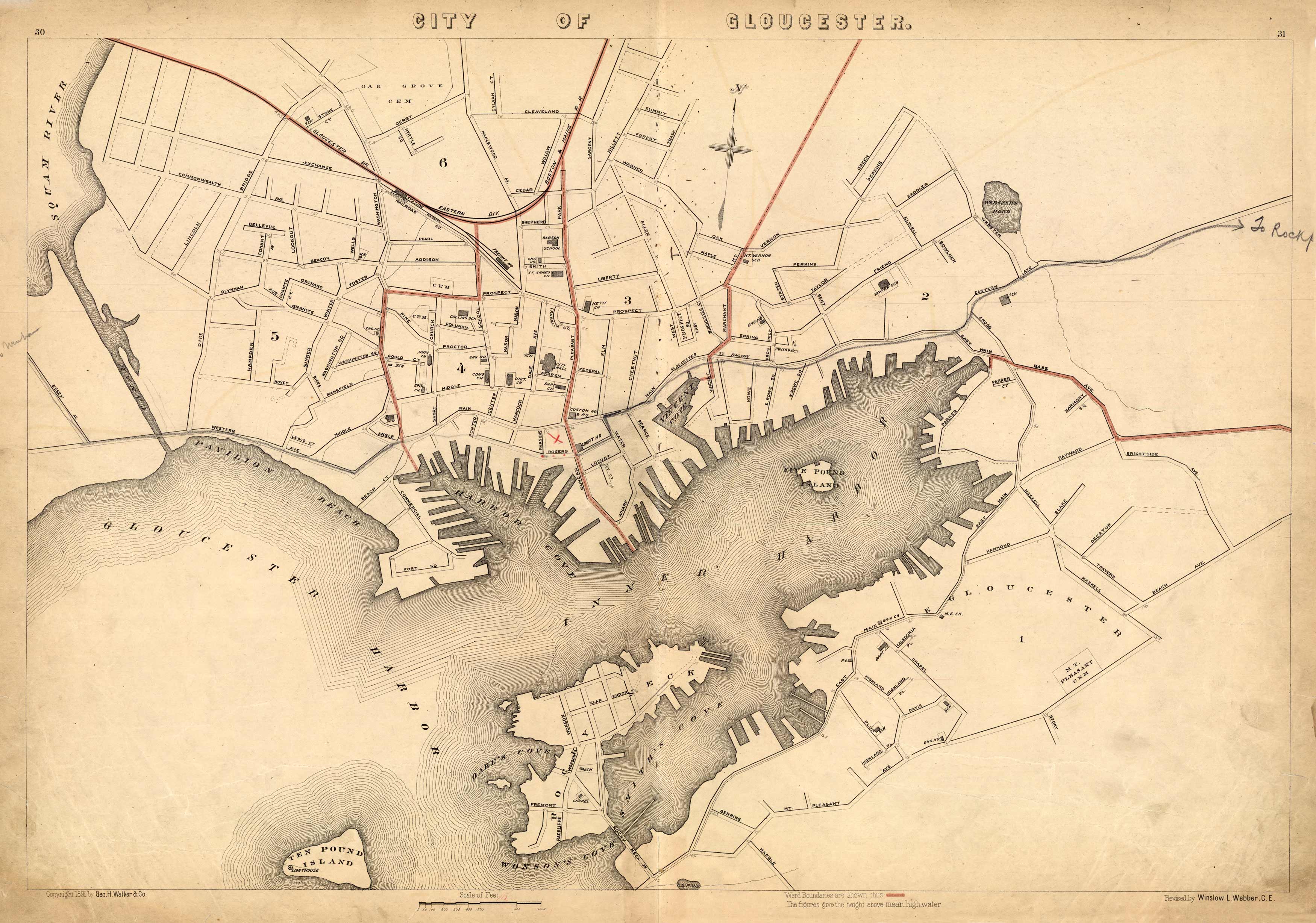
City of Gloucester
In stock
This 1891 map of Gloucester names ponds, streets, cemeteries, the Ten Pound Light House, railroad lines, schools, and churches. The map also shows part of Squam River, Smiths Cove, Wonson’s Cove, and Ten Pound Island. The city is indexed by wards.
Size: 26 x 17.5 inches
Condition: Very Good, some paper loss outside margrins
Map Maker: Geo H. Walker & CO.
Coloring: Printed Color
Year: 1891
Condition: Very Good, some paper loss outside margrins
Map Maker: Geo H. Walker & CO.
Coloring: Printed Color
Year: 1891
In stock


