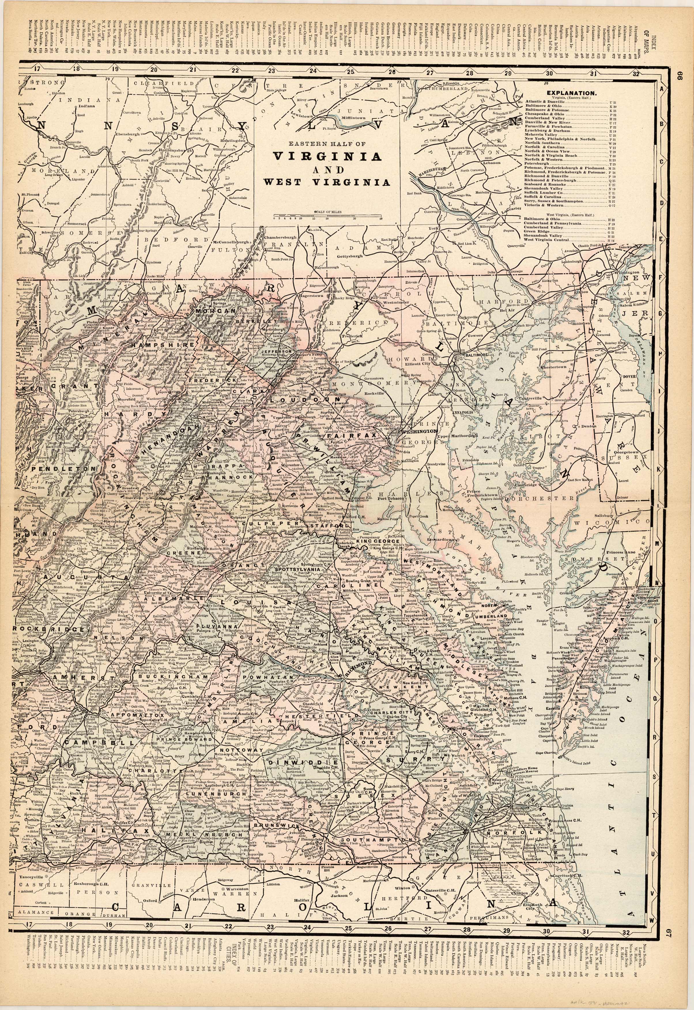
Virginia and West Virginia (Eastern Half)
In stock
This map comes from a very rare set of Walker maps that were the state of the art for the late 19th century. Full of wonderful detail for development and transportation, these maps give us a thorough view of rivers, roads, towns, cities, and boundaries of the age. These maps are an unparalleled reference for the age, and have been maintained in beautiful condition. All maps are hand colored by county. This is a great opportunity to for collectors as well as those just getting started.
Size: 16 x 22 inches
Condition: Very Good
Map Maker: H.B. Walker
Coloring: Printed Color
Year: 1891
Condition: Very Good
Map Maker: H.B. Walker
Coloring: Printed Color
Year: 1891
In stock


