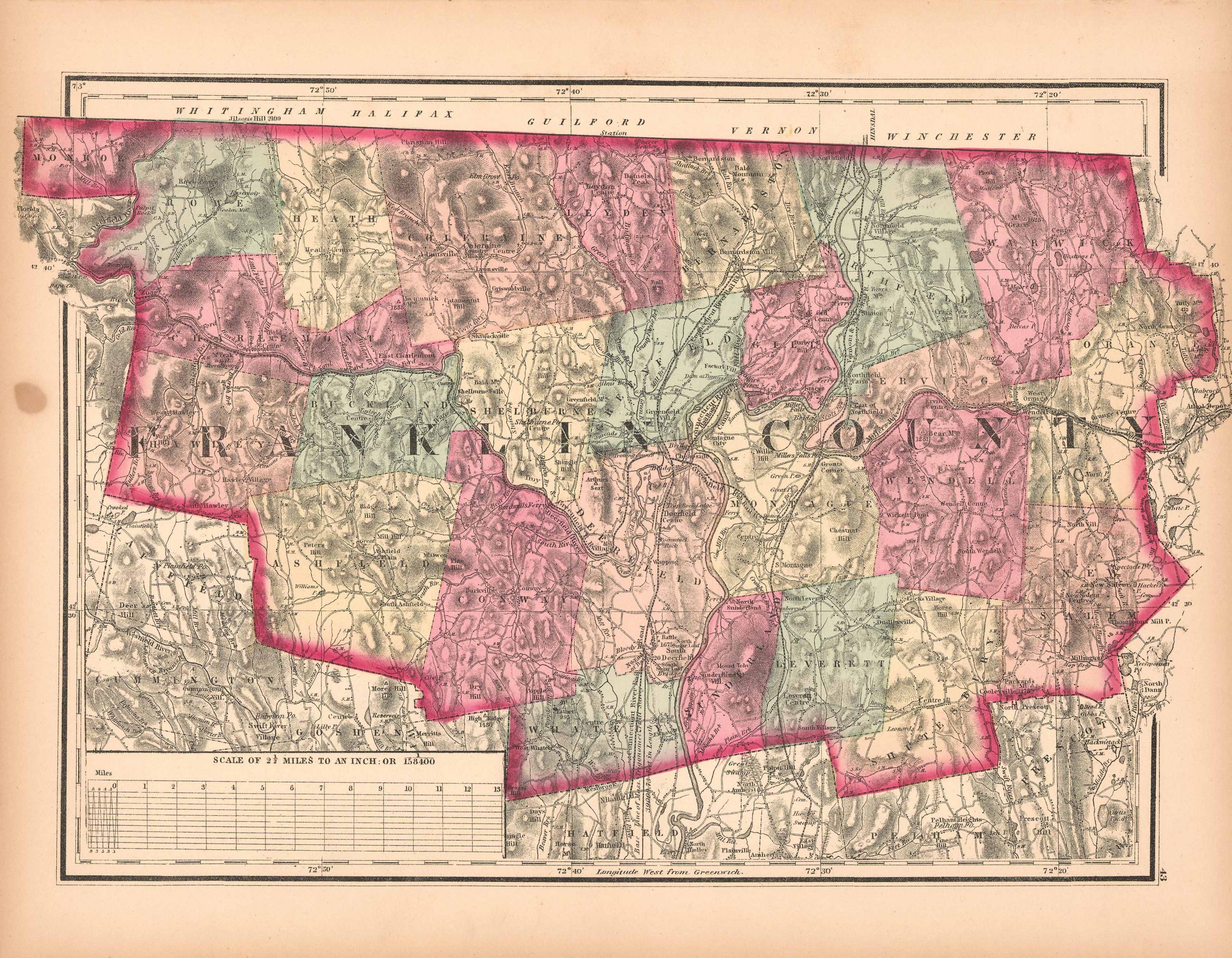
Map of Franklin County, Massachusetts
In stock
This hand colored map is from Walling and Grays Official Topographical Atlas of Massachusetts from Astronomical, Trigonometrical, and Various Local Surveys published in 1871. This bright pastel map is of Franklin County. Details include rail lines, the names of important cities, major roads, lakes and rivers.Important land owners and businesses are also identified.
Size: 17 x 10.5 inches
Condition: Very Good, light foxing
Map Maker: Walling and Gray
Coloring: Original Hand Color
Year: 1871
Condition: Very Good, light foxing
Map Maker: Walling and Gray
Coloring: Original Hand Color
Year: 1871
In stock


