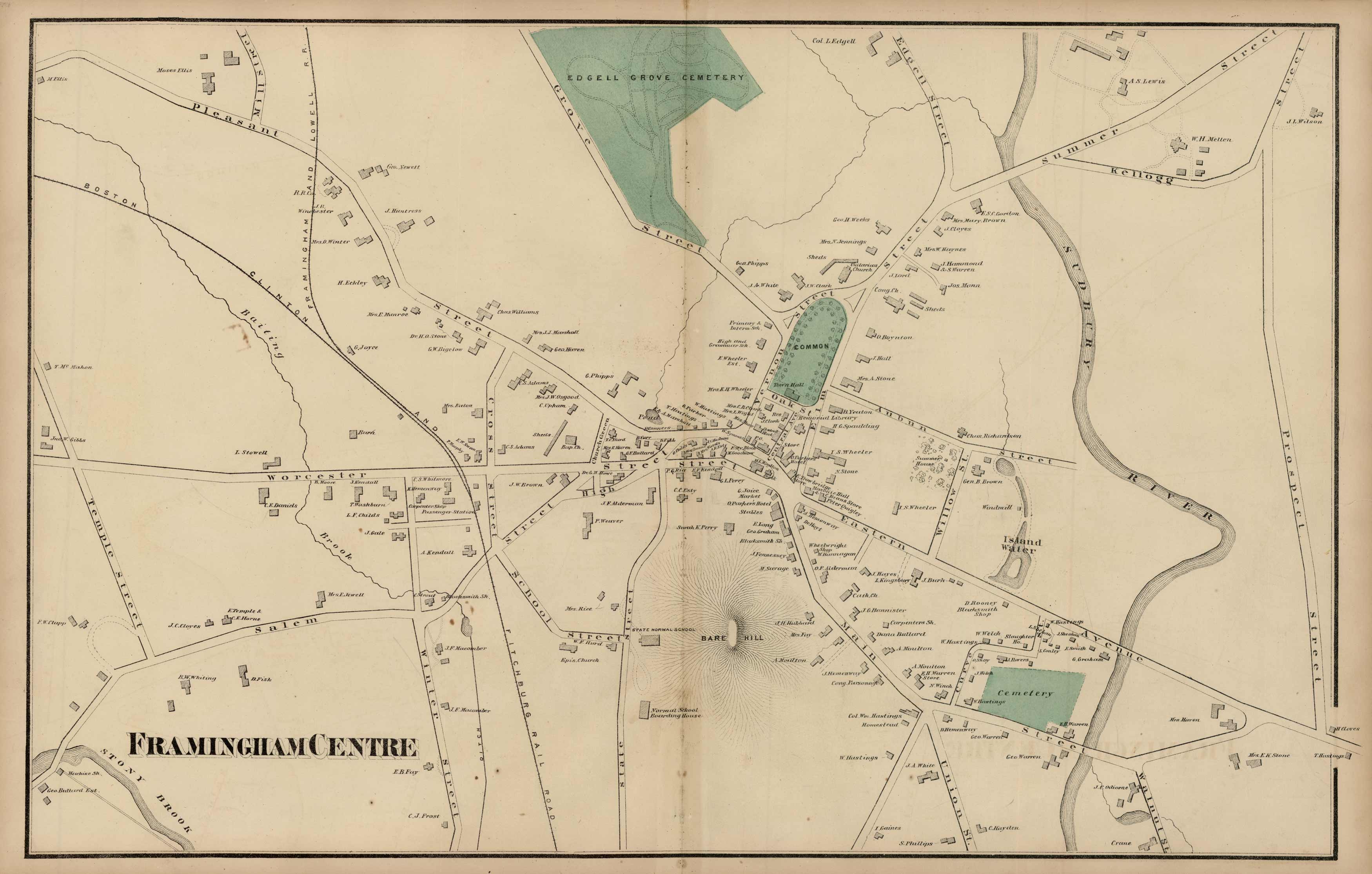
Framingham Centre
In stock
This hand colored map is from Walling and Grays Official Topographical Atlas of Massachusetts from Astronomical, Trigonometrical, and Various Local Surveys published in 1871.
Size: 25 x 16 inches
Condition: Good, slight staining down center fold
Map Maker: H.F. Walling and O.W. Gray
Coloring: Original hand color
Year: 1871
Condition: Good, slight staining down center fold
Map Maker: H.F. Walling and O.W. Gray
Coloring: Original hand color
Year: 1871
In stock


