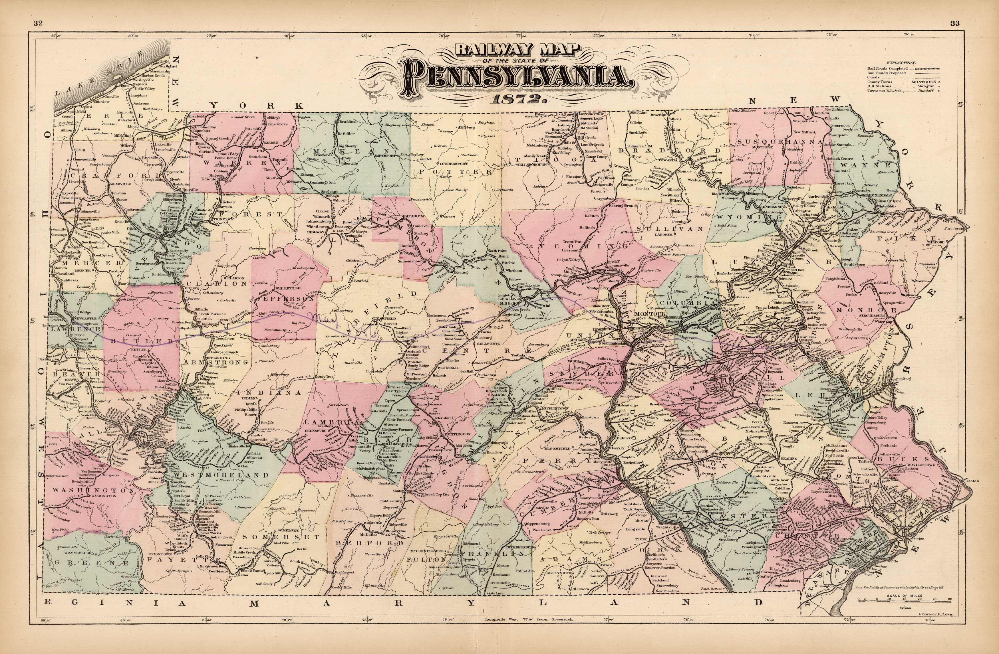
Railway Map of the State of Pennsylvania
In stock
Fantastic Railway map of Pennsylvania by Henry Walling & O.W. Gray, date 1872.This very detailed maps shows every railroad line in operation in 1872, it also shows every stop along the routes. This is unusual for most maps just show the line themselves.This map also details other towns, and rivers, as well as counties.Over all a great map of Pennsylvania, and very hard to find.
Size: 24 x 15.5 inches
Condition: Very Good
Map Maker: Henry Walling & O.W. Gray
Coloring: Original Hand Coloring
Year: 1872
Condition: Very Good
Map Maker: Henry Walling & O.W. Gray
Coloring: Original Hand Coloring
Year: 1872
In stock


