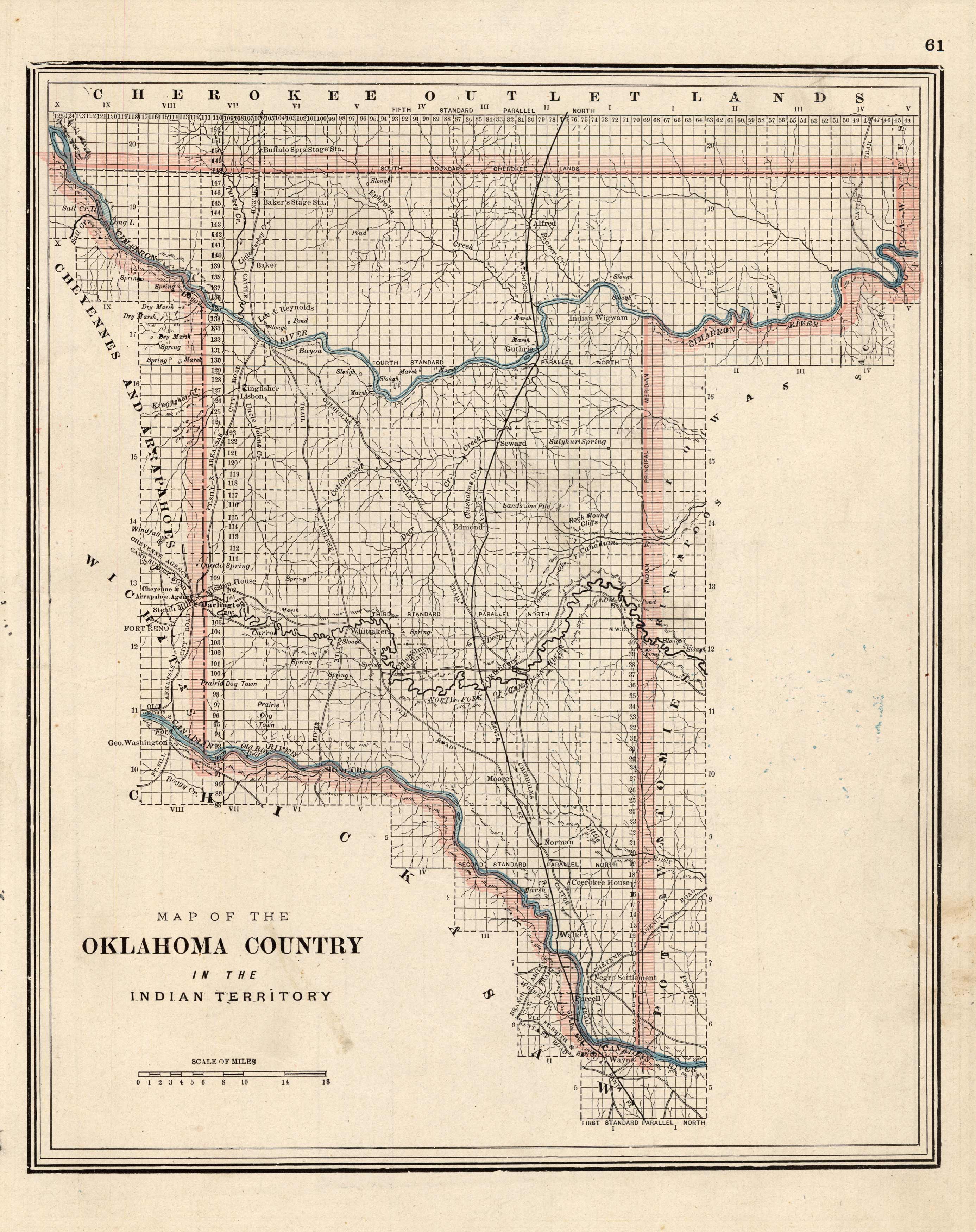
Oklahoma Country in the Indian Territory
In stock
This beautiful map of Oklahoma Country in the Indian Territory was produced by John Iliff via cerographic engraving (a process in which the printing plate is manufactured from an engraving on wax). Using information from the 1890 US census, these maps are very detailed. These maps have become increasingly difficult to find over the years.
Size: 9.75 x 11.75 inches
Condition: Very Good, light age toning
Map Maker: John W. Iliff & Co
Coloring: Printed Color
Year: 1891
Condition: Very Good, light age toning
Map Maker: John W. Iliff & Co
Coloring: Printed Color
Year: 1891
In stock


