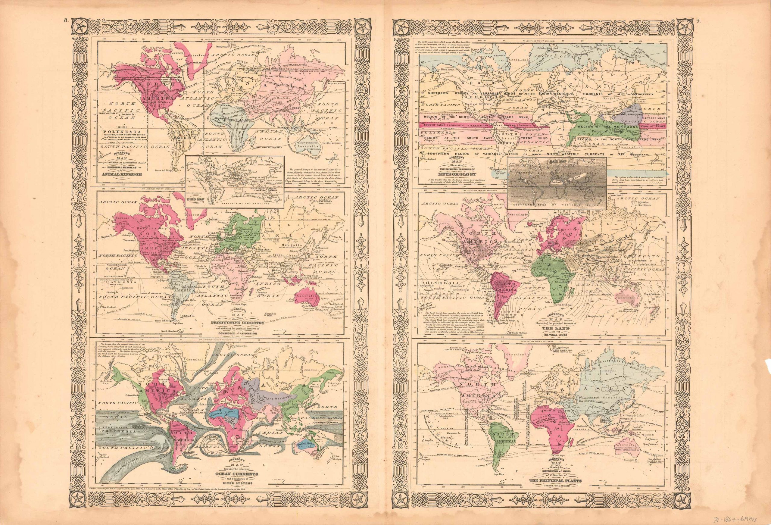
Johnsons Six Maps of The Plants, The Land, Meteorology, Ocean Currents, Productive Industry and Animals’
In stock
This antique map came from Johnsons New Illustrated (Steel Plate) Family Atlas, published in 1867, by A.J. Johnson. These maps are some of the most colorful and accurate maps produced in the 1860’s, their attention to detail and the fine steel engraving make them works of art. Johnson maps are characterized by hand coloring in red, green, yellow, and pink and distinctive borders, including iron scrollwork and a Celtic design. This beautiful map is six maps in one. These maps detail the topics of Meteorology, rain, the land and the co-tidal lines, plants, ocean currents, productive industry, birds, and animals. A fine piece that would make a nice addition to any wall in a home or office.
Size: 21.25 x 16.75 inches
Condition: Very Good
Map Maker: A.J. Johnson
Coloring: Original Hand Coloring
Year: 1867
Condition: Very Good
Map Maker: A.J. Johnson
Coloring: Original Hand Coloring
Year: 1867
In stock


