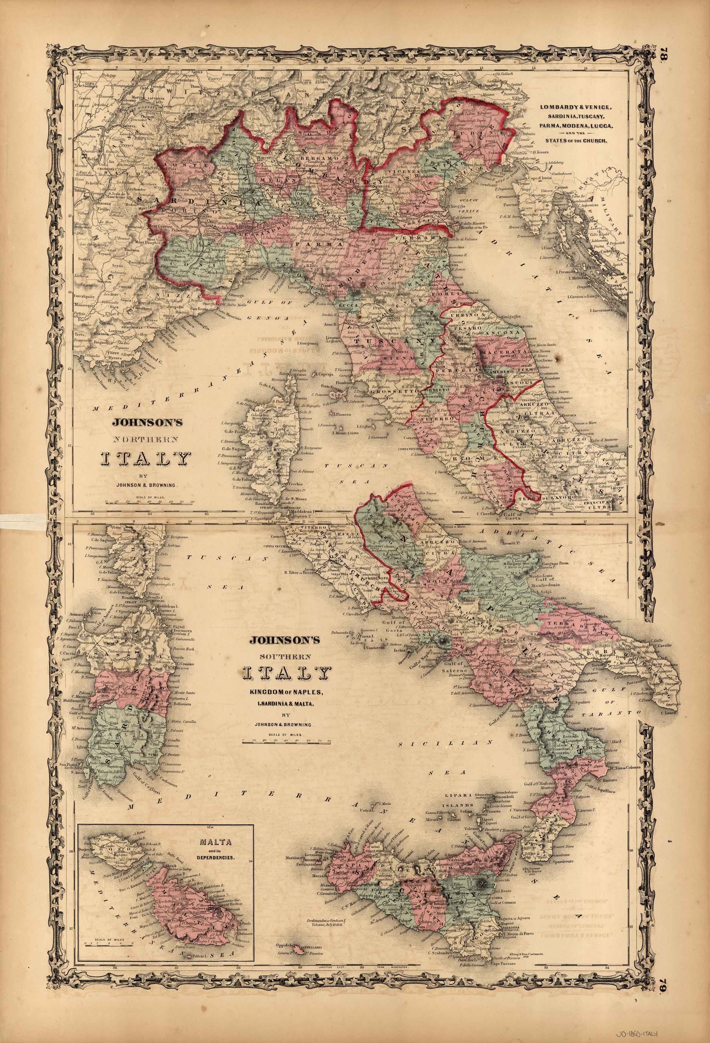
Johnson’s Northern/Southern Italy — Kingdom of Naples, Sardinia and Malta
In stock
This map was issued as part of the extremely difficult to find Johnson’s New Illustrated (Steel Plate) Family Atlas, With Descriptions, Geographical, Statisical, and Historical – Compiled, Drawn, and Engraved Under the Supervision of J.H. Colton and A.J. Johnson, T.B. Tilden. This is the first edition of this atlas by A.J. Johnson which was issued almost every year from 1860-1887. Johnson’s Atlas “accurately reflects the expansion of our country, showing the growth of cities, towns and counties, as well as the emerging state boundaries in the west, and the development of the railroads nationwide.”
Size: 16 x 24 inches
Condition: Very Good, w/slight overall age toning
Map Maker: Johnson & Browning
Coloring: Original Hand Color
Year: 1860
Condition: Very Good, w/slight overall age toning
Map Maker: Johnson & Browning
Coloring: Original Hand Color
Year: 1860
In stock


