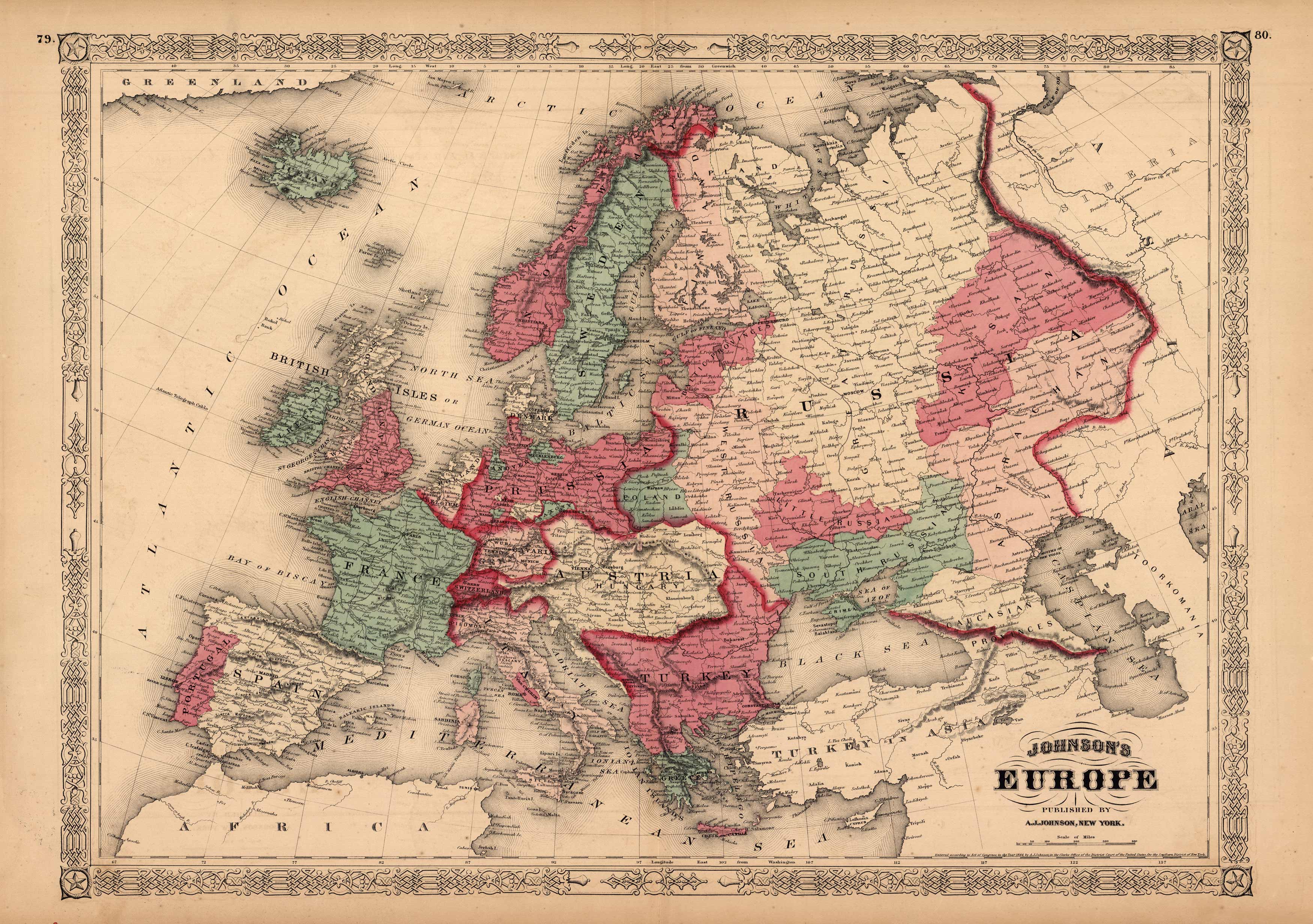
Johnsons Europe’
In stock
This map is from Johnsons New Illustrated Family Atlas of the World printed in 1868 by A.J. Johnson. Johnson maps are characterized by hand coloring in red and green and distinctive borders, including iron scroll work and a Celtic design. This is a beautiful map of Europe colored in vibrant pastels. The names of countries and major cities are shown. Other details include rail lines, rivers and mountain ranges.
Size: 23 x 16.5 inches
Condition: Very Good, light age toning and foxing
Map Maker: A.J. Johnson
Coloring: Original Hand Color
Year: 1868
Condition: Very Good, light age toning and foxing
Map Maker: A.J. Johnson
Coloring: Original Hand Color
Year: 1868
In stock


