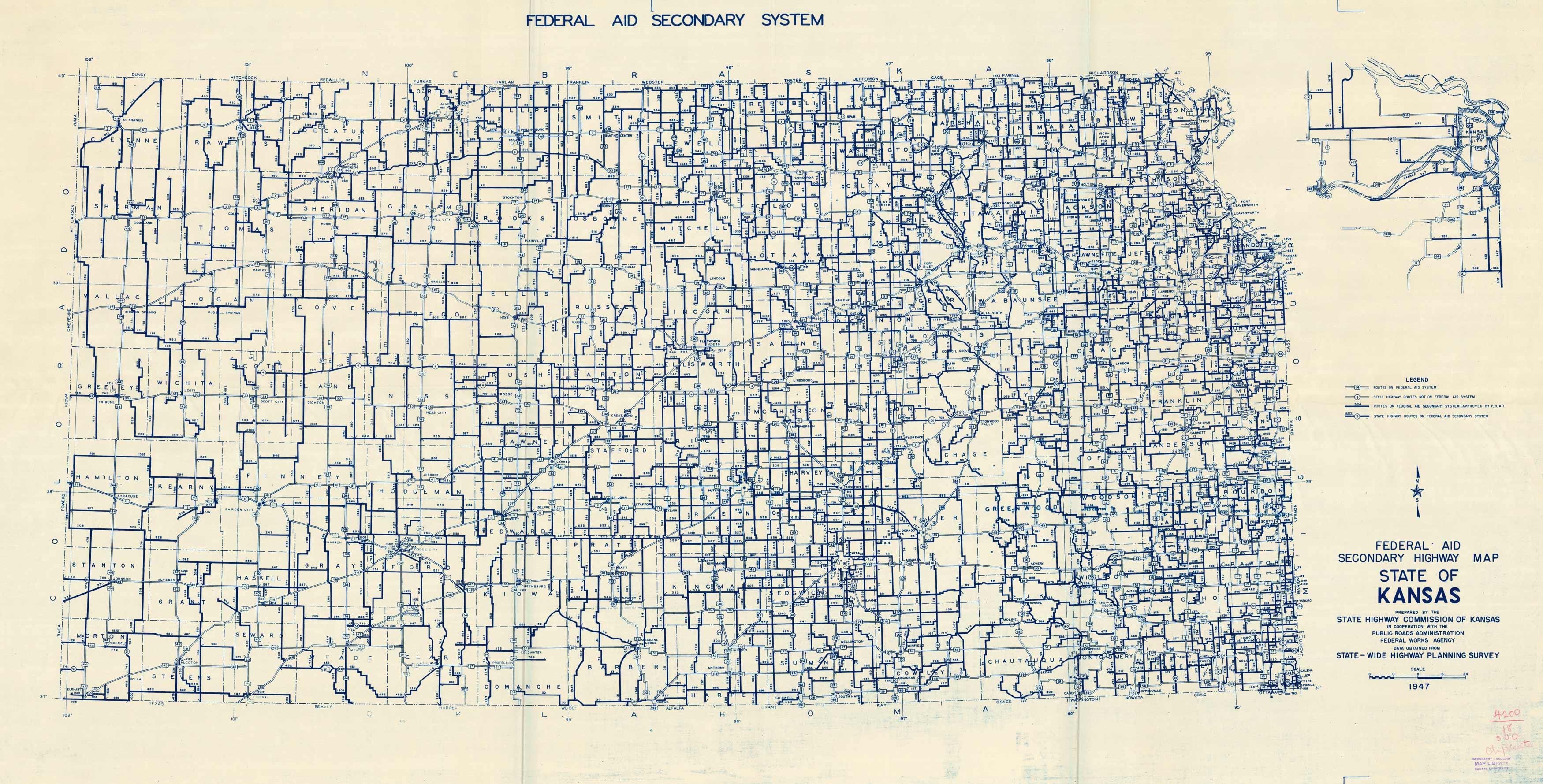
Federal Aid – Secondary Highway Map – State of Kansas
In stock
This 1947 blueline map of secondary haighways also has a larger-scale inset map of the Kansas City Area.
Size: 65 x 34 inches
Condition: Very Good
Map Maker: State Highway Commission of Kansas / Highway Planning Department
Coloring: Blueline
Year: 1947
Condition: Very Good
Map Maker: State Highway Commission of Kansas / Highway Planning Department
Coloring: Blueline
Year: 1947
In stock


