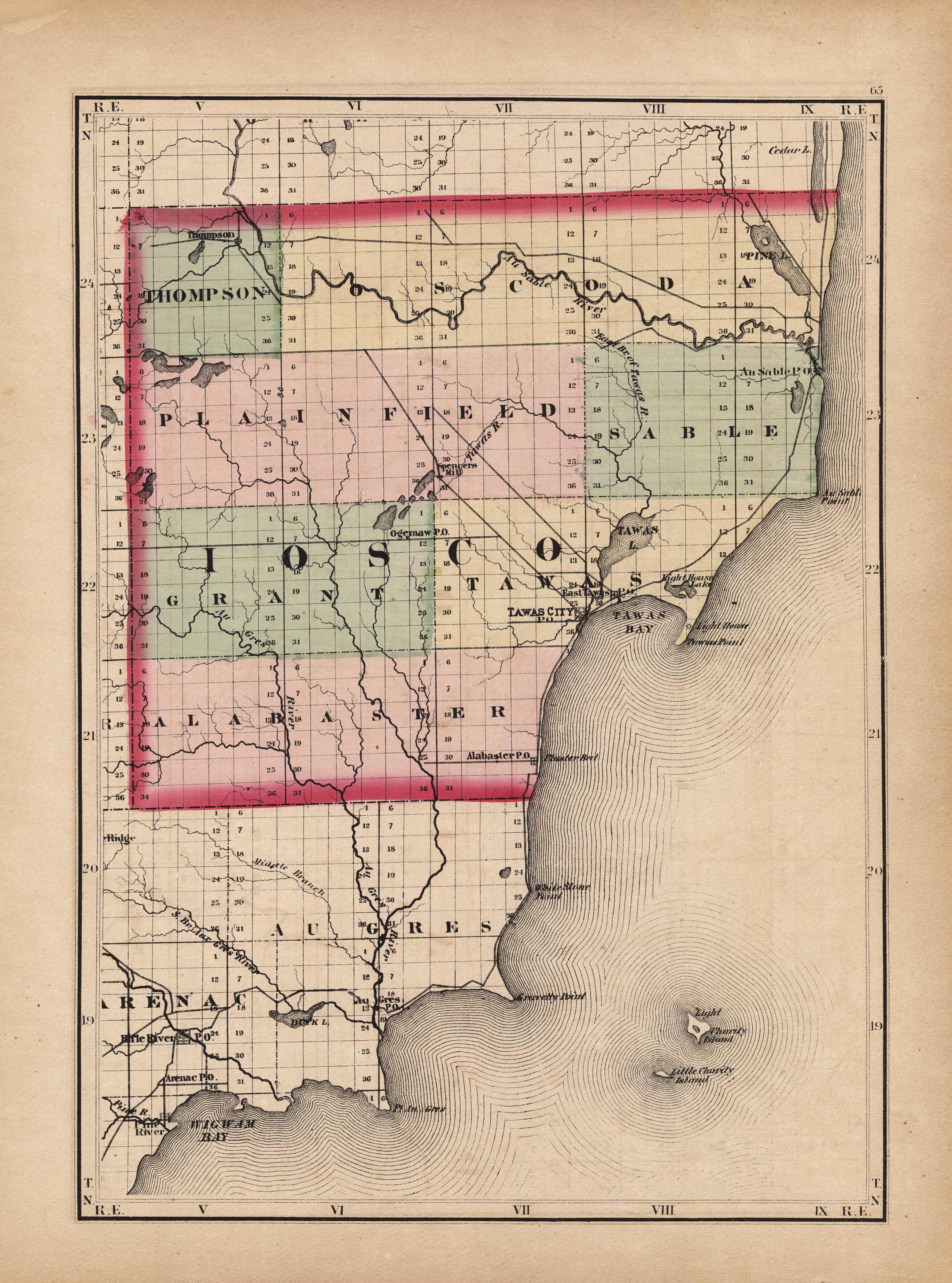
Iosco County, Michigan
In stock
This beautiful map was originally published in “Tackaburys Atlas of the State of Michigan” in 1873. This map was published by George N. Tackabury, Detroit, Michigan. Tackabury was one of the U.S.s finest state and county map publishers. The maps within were drawn and compiled by Henry F. Walling. Each map has original hand coloring in beige, yellow, pink and green. The fine detail of this map shows cities, towns, rivers, lakes, post offices, roads, and most important, the existing railroad network. All railroads are labeled.
Size: 11 x 15 inches
Condition: Very Good
Map Maker: H.F. Walling
Coloring: Original Hand Coloring
Year: 1873
Condition: Very Good
Map Maker: H.F. Walling
Coloring: Original Hand Coloring
Year: 1873
In stock


