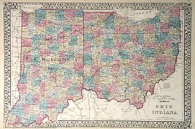
County and Township Map of the States of Ohio and Indiana
In stock
This map came from Mitchells New General Atlas, 1881.The traditional ivy border, and hand coloring make this mapbeautiful. This double page, US State map shows transportation routes,rivers, towns, and topography features. Very Detailed!’
Size: 21 x 14.25 inches
Condition: Very Good
Map Maker: S. Augustus Mitchell
Coloring: Original Hand Color
Year: 1881
Condition: Very Good
Map Maker: S. Augustus Mitchell
Coloring: Original Hand Color
Year: 1881
In stock


