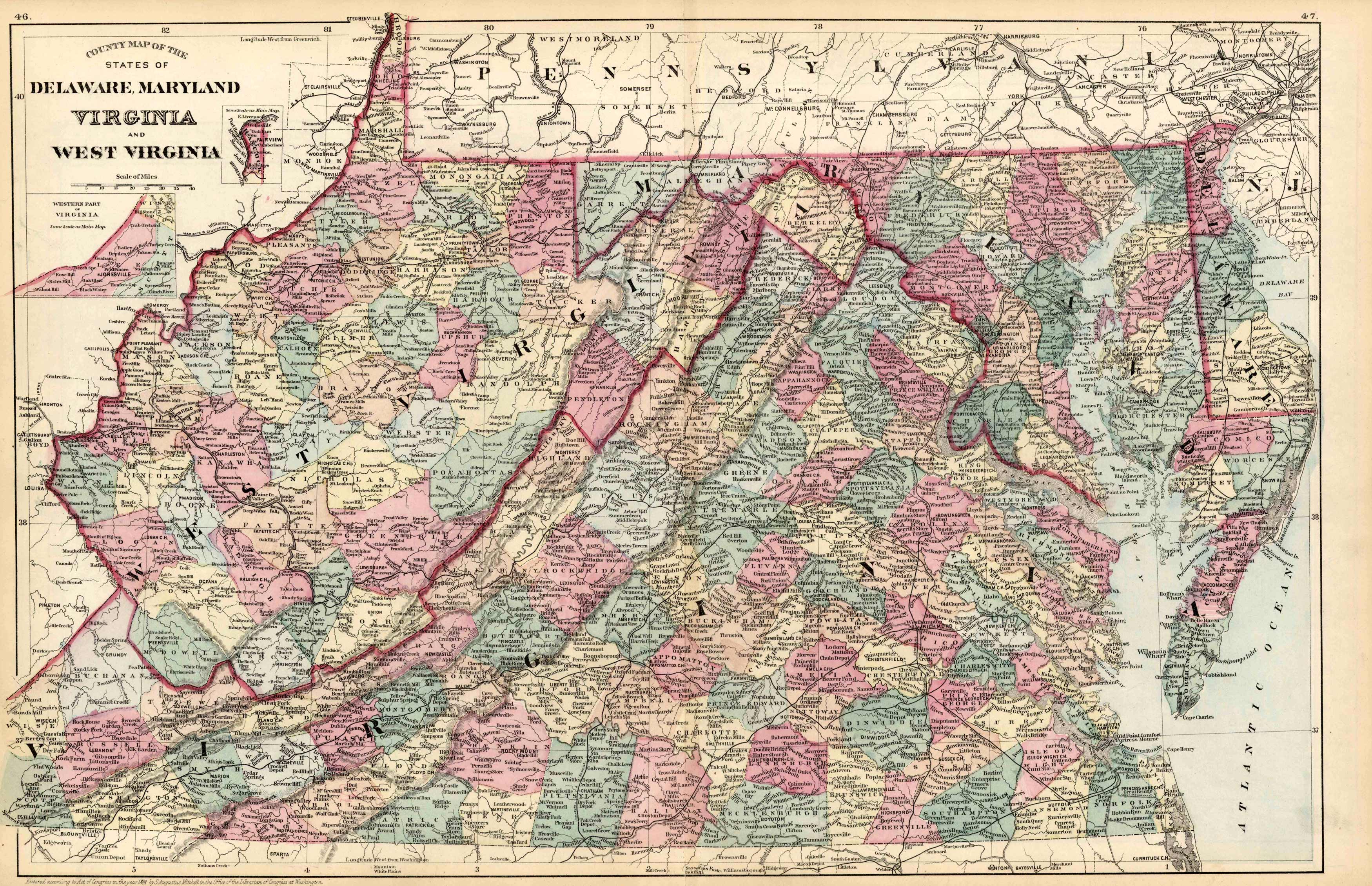
County Map of the States of Delaware, Mayland, Virginia, and West Virginia
Out of stock
This map came from Mitchells New General Atlas, 1881. This map shows major railroads, water bodies, and towns. Decorative ivy border, and nice colorful detail. Would look nice framed!’
Size: 22.5 x 14.5 inches
Condition: Very Good
Map Maker: S. Augustus Mitchell
Coloring: Original Hand Coloring
Year: 1881
Condition: Very Good
Map Maker: S. Augustus Mitchell
Coloring: Original Hand Coloring
Year: 1881
Out of stock


