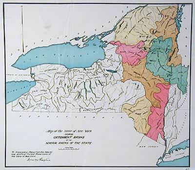
Map of the State of New York Showing Catchment Basins of the Several Rivers of the State
Out of stock
This map illustrating the State of New York’s river catchment basins was made circa 1900. The mostly black and white map has bright coloring of some river systems and lakes and identification of their names. The map was made to illustrate the Report on the Natural and Artificial Forest Reservoirs of the State of New York.
Size: 17 x 15.25 inches
Condition: Very Good-light creasing
Map Maker: New York State Government, Forestry Division?
Coloring: Machine Color
Year: circa 1900
Condition: Very Good-light creasing
Map Maker: New York State Government, Forestry Division?
Coloring: Machine Color
Year: circa 1900
Out of stock


