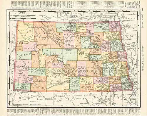
North Dakota
In stock
This map is from the Rand McNally Universal Atlas printed in 1895. Counties, major cities, rivers, lakes, mountain ranges, and indian reservations are shown. Population concentration to the eastern part of the state at this time is evident here.
Size: 12.5 x 9.25 inches
Condition: Very Good
Map Maker: Rand McNally
Coloring: Machine Coloring
Year: 1895
Condition: Very Good
Map Maker: Rand McNally
Coloring: Machine Coloring
Year: 1895
In stock


