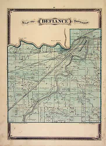
Map of Defiance Township
Out of stock
This map details the Ohio town of Defiance. Originally published in H.F. Walling’s Atlas of the State of Ohio, the map features original hand coloring of the towns, as they looked in 1868. Streets, railroads, rivers, and major or important buildings are shown.
Size: 10.5 x 14 inches
Condition: Very Good
Map Maker: H.F.Walling
Coloring: Original Hand Coloring
Year: 1868
Condition: Very Good
Map Maker: H.F.Walling
Coloring: Original Hand Coloring
Year: 1868
Out of stock


