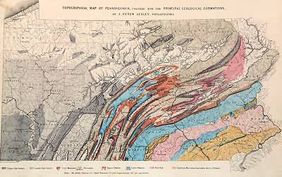
Topographical Map of Pennsylvania, Colored for the Principal Geological Formations
In stock
This antique map is from the Topographical Atlas of the State of Pennsylvania created by Henry F. Walling and O.W. Gray, in 1872. The maps brilliance is obvious through the hand coloring of pink, yellow, red, and tan. These colors illustrate the various geological formations including upper and lower coal series; coal measures; Devonian; upper and lower Silurian; New Red; and Cambrian, Huronian, Lawrentian, Azoic, or Primary.
Size: 16.5 x 11 inches
Condition: Very Good
Map Maker: Henry Walling & O.W. Gray
Coloring: Original Hand Coloring
Year: 1872
Condition: Very Good
Map Maker: Henry Walling & O.W. Gray
Coloring: Original Hand Coloring
Year: 1872
In stock


