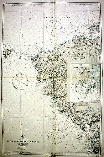
Quatsino Sound to Hope Island
In stock
This coastal survey was made in May of 1945 by the U.S. Navy Hydrographic Office in Washington D.C. Details include the names of cities and waterways along the coast, and depth readings.Other details include a lighthouses at Kains Island and an inset of Sea Otter Cove.
Size: 30 x 47 inches
Condition: Excellent
Map Maker: Hydrographic office, U.S. Navy
Coloring: Printed Color
Year: 1945
Condition: Excellent
Map Maker: Hydrographic office, U.S. Navy
Coloring: Printed Color
Year: 1945
In stock


