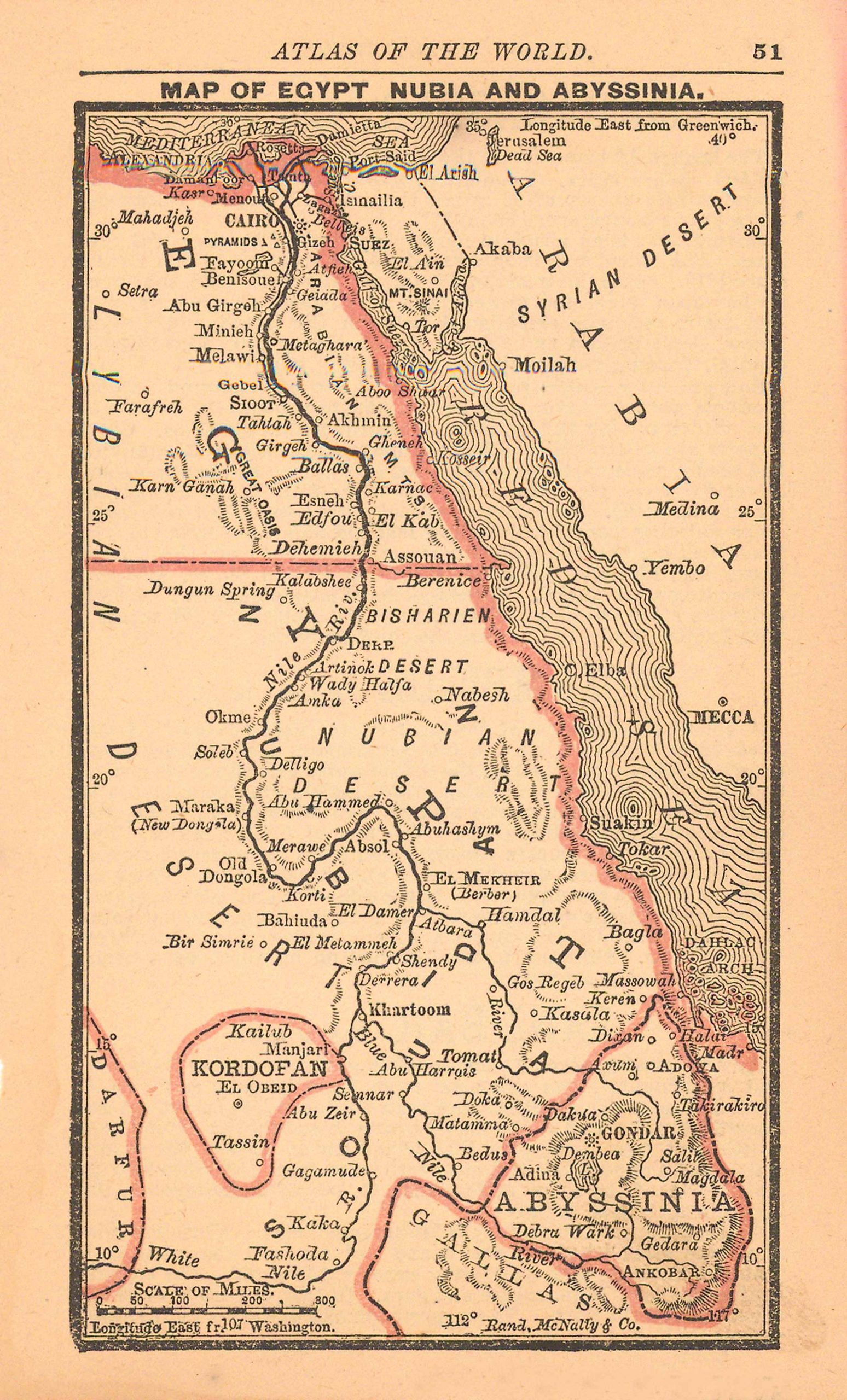
Map of Egypt, Nubia, and Abyssinia
In stock
With the 19th century innovations of publishing and technology, the world became a smaller place and one which anyone could become acquainted with. As these changes blossomed, the fledgling company of Rand McNally realized the interest in small accessible material, and produced a pocket atlas. These maps carry handy reference information, and were up to date for the period. They include cities, some towns as well as some roads. They have their own charm and would be great for framing, and decorative use.
Size: 3 x 5 inches
Condition: Very Good
Map Maker: Rand McNally & Co.s'
Coloring: Printed Color
Year: 1887
Condition: Very Good
Map Maker: Rand McNally & Co.s'
Coloring: Printed Color
Year: 1887
In stock


