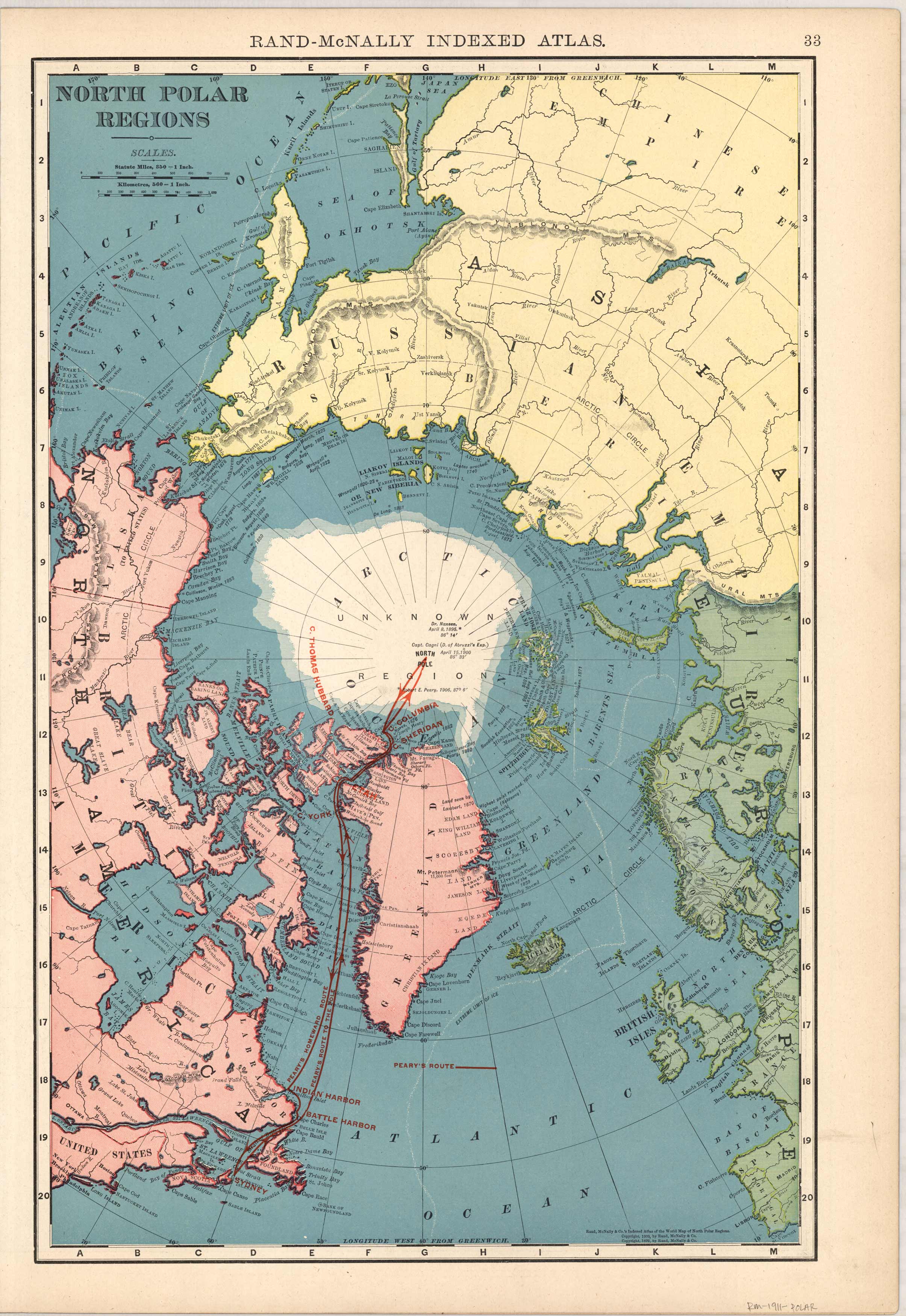
Rand McNally map of the North Polar Regions, 1911
In stock
This large format map was published in Rand McNally & Co.s Indexed Atlas of the World, dated 1911. This map details the North Polar Regions.
Size: 12.5 x 19.5 inches
Condition: Good - Map has small tear in lower left corner. Archivally repaired.
Map Maker: Rand McNally & Compnay
Coloring: Printed Color
Year: 1911
Condition: Good - Map has small tear in lower left corner. Archivally repaired.
Map Maker: Rand McNally & Compnay
Coloring: Printed Color
Year: 1911
In stock


