Washington D.C.
In stock
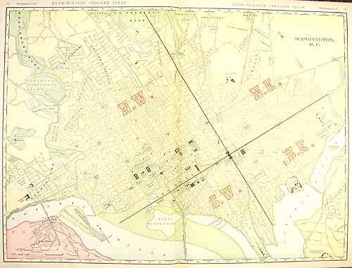
This large format map was published in Rand McNally & Co.s Indexed Atlas of the World, dated 1908. This detailed city map shows, buildings, streets, parks, rail lines, and many other details. A neat glimpse of the city in the early 20th century.
Size: 26 x 19 inches
Condition: Very Good - minor repaired tears
Map Maker: Rand McNally & Company
Coloring: Lithographic Color
Year: 1908
Condition: Very Good - minor repaired tears
Map Maker: Rand McNally & Company
Coloring: Lithographic Color
Year: 1908
In stock


