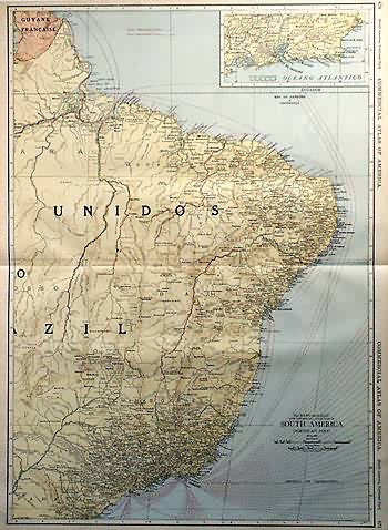
North East South America
In stock
Rand McNally made this “Commercial Atlas of America” in 1920. North Eastern South America is illustrated on this map. An inset shows the vicinity of Rio de Janeiro at a greater scale than the main map. The names of regions and important cities, common sea routes, lakes and rivers are identified. Each railroad is labled with a number that correspond to a key providing its name.
Size: 19 x 27 inches
Condition: Very Good-age toning
Map Maker: Rand McNally
Coloring: Printed Color
Year: 1920
Condition: Very Good-age toning
Map Maker: Rand McNally
Coloring: Printed Color
Year: 1920
In stock


