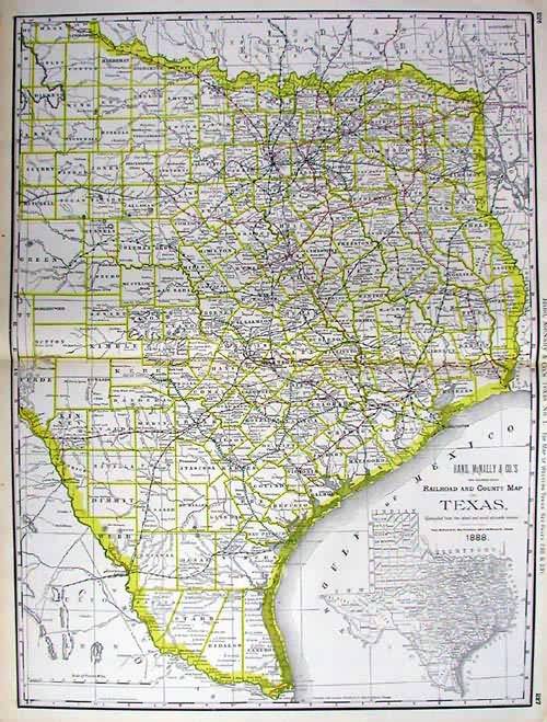
Railroad and county map of Texas
Out of stock
This map was produced by Rand McNally and Company for its “Business Atlas and Shippers Guide” in 1889. These highly detailed maps were acknowledged as the premier business shipping maps with much attention paid to even the smallest of villages.
Size: 19 x 25.5 inches
Condition: Very Good
Map Maker: Rand McNally & Co.s'
Coloring: Printed Color
Year: 1889
Condition: Very Good
Map Maker: Rand McNally & Co.s'
Coloring: Printed Color
Year: 1889
Out of stock


