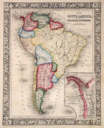
Map of South America, Showing its Political Divisions
In stock
With characteristic floral boarders and beautiful, muted pastel coloring, these 1864 maps are fantastic examples of Mitchells work. Regions, important cities, rivers, lakes, and railroads are identified. This hand colored map illustrated South America with an inset of the vicinity of the proposed Panama Canal.
Size: 10.5 x 13.25 inches
Condition: Very Good-age toning, minor foxing, water stains in margin, small tears in margin
Map Maker: S. Augustus Mitchell
Coloring: Original Hand Color
Year: 1864
Condition: Very Good-age toning, minor foxing, water stains in margin, small tears in margin
Map Maker: S. Augustus Mitchell
Coloring: Original Hand Color
Year: 1864
In stock


