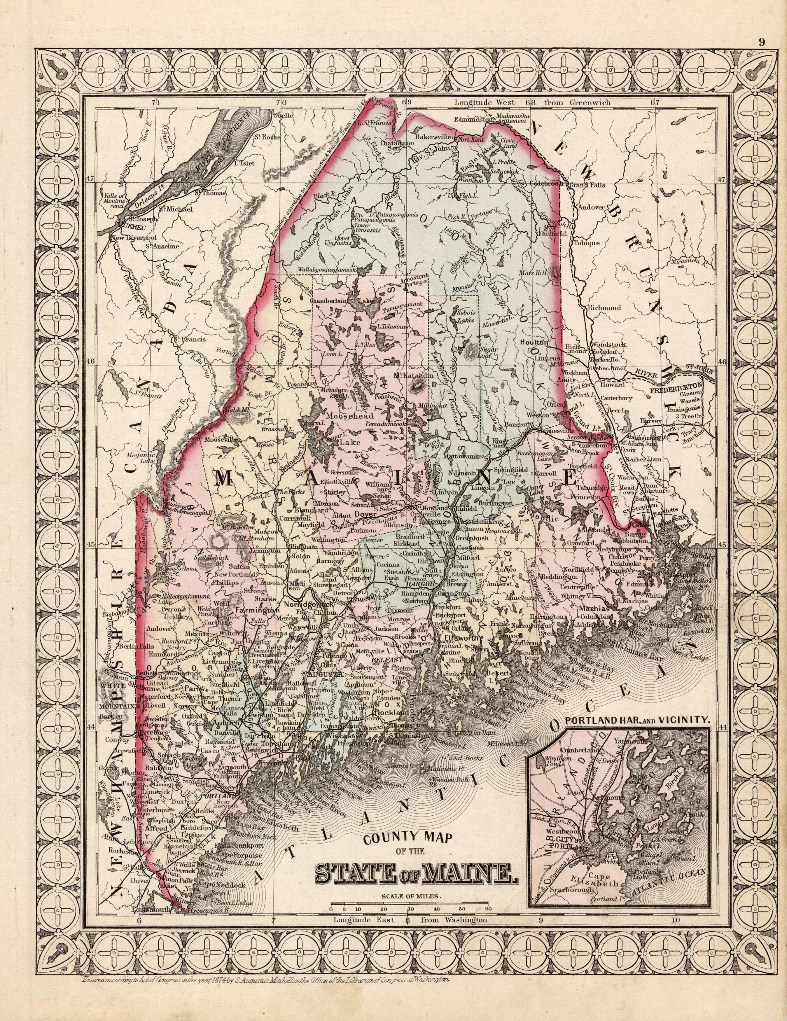
County Map of the State of Maine (with an inset map of Portland Har. and Vicinity)
In stock
Art Source International is proud to offer this very rare map of Maine (with an inset map of Portland Harbor and Vicinity). It was produced for S. Augustus Mitchells New Atlas of the United States, published for a single year by Ziegler & McCurdy, in 1874. This single edition is one of the most sought after editions of any American published maps. The maps are distinguished by their decorative “airplane propeller” border. Counties, cities, towns, railroads, and various geographic features are shown on this map. We have found only one map by Ziegler and McCurdy in over 35 years of map sales records and have never, till now, offered any for sale.
Size: 10.5 x 13.25 inches
Condition: Very Good, light age toning and foxing
Map Maker: Ziegler & McCurdy
Coloring: Original Hand Color
Year: 1874
Condition: Very Good, light age toning and foxing
Map Maker: Ziegler & McCurdy
Coloring: Original Hand Color
Year: 1874
In stock


